Login
Star users
Poll
Home
>
United States
>
Ohio
>
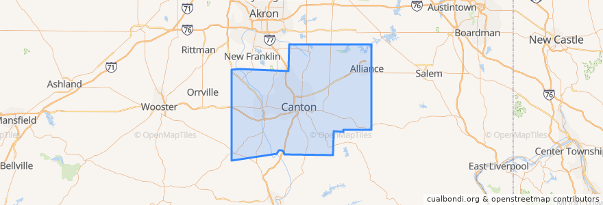
Stark County
Stark County
See in interactive map
Routes of public transport
SARTA 106 Downtown Canton/Meyers Lake Plaza/Belden Village
SARTA 110 Downtown Canton/Warner/Sherrick
SARTA 118 Canton/Perry Hills Colony
SARTA 119 Downtown Canton/Frazer/44th
SARTA 122 Downtown Massillon/Oberlin Loop
SARTA 130 Downtown Alliance/Klinger & Gaskill Loop
SARTA 131 Downtown Alliance/State & Sawburg
SARTA 152 West Late Night Loop
Places
Canton
(5)
Massillon
(3)
Alliance
(2)
Jackson Township
(1)
Lexington Township
(1)
East Canton
(0)
East Sparta
(0)
Lake Township
(0)
Lawrence Township
(0)
Louisville
(0)
Magnolia
(0)
Marlboro Township
(0)
Meyers Lake
(0)
Navarre
(0)
North Canton
(0)
Paris Township
(0)
Sugar Creek Township
(0)
Tuscarawas Township
(0)
Washington Township
(0)
Waynesburg
(0)
Stops
-81.3707167, 40.7971876
-81.37057390000001, 40.796986000000004
-81.3706543, 40.797148500000006
-81.3704699, 40.797318000000004
Points of interest
Wesleyan Church
First Church of God
GetGo
Minerva
LongHorn Steakhouse
Buckeye Credit Union
Beach City
Canton
Mesa
Genschaft Park Public Parking
Canton Baptist Temple
First Wesleyan Methodist Church
First United Church of Christ
Washington Township
DQ Grill & Chill
East Canton
Garfield Elementary School
Walgreens
North Canton
Subway
Bogo pizza
Jimmy John's
KeyBank
Alliance Baptist Temple
Basil
Farmers National Bank
East of Chicago Pizza
First Lutheran Church
North Lincoln Elementary School
Starbucks