Accesso
Utenti preferiti
Sondaggio
Homepage
>
Stati Uniti d'America
>
Georgia
>
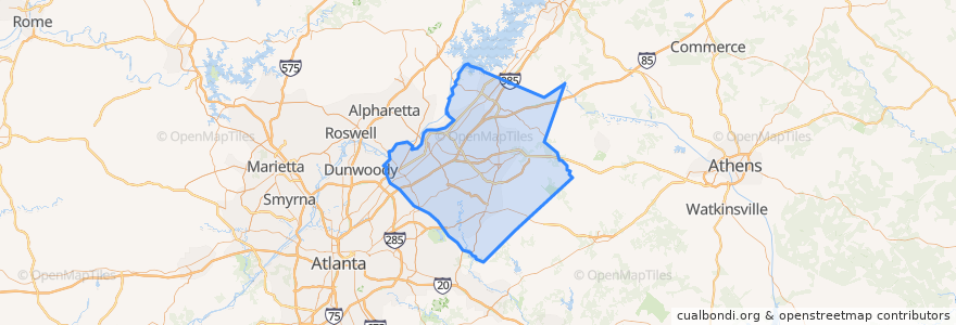
Gwinnett County
Gwinnett County
Visualizza nella mappa interattiva
Percorsi di trasporto pubblico
Gwinnett County Transit 103A
Xpress 411 Hamilton Mill/Mall of Georgia to Midtown
Xpress 412 Sugarloaf Mills to Midtown
Xpress 414 Hamilton Mill/Mall of Georgia/Sugarloaf Mills to Midtown
Xpress 417 Sugarloaf Mills to Perimeter Center
Posti
Norcross
(5)
Suwanee
(2)
Peachtree Corners
(1)
Berkeley Lake
(0)
Dacula
(0)
Duluth
(0)
Grayson
(0)
Lawrenceville
(0)
Lilburn
(0)
Rest Haven
(0)
Snellville
(0)
Sugar Hill
(0)
Punti di interesse
Subway
Norcross
Sims
Duluth
Cracker Barrel
Gwinnett County Station 11 Fire Station
Taco Mac
Cracker Barrel
Zaxby's
North Metro Facility Post Office
Chevron
Chipotle
Sugar Hill
Firehouse Subs
Snellville
Burger King
Ted's Montana Grill
Dentist
Chevron
Schlotzsky's
Denny's
McDonald's
Gwinnett County Westside Precinct Police Station
McDonald's
Arby's
Wells Fargo
Grayson
Pleasant Hill Church
Chevron
QuikTrip