Login
Star users
Poll
Home
>
United States
>
Florida
>
Alachua County
>
City of Gainesville Municipal Boundaries
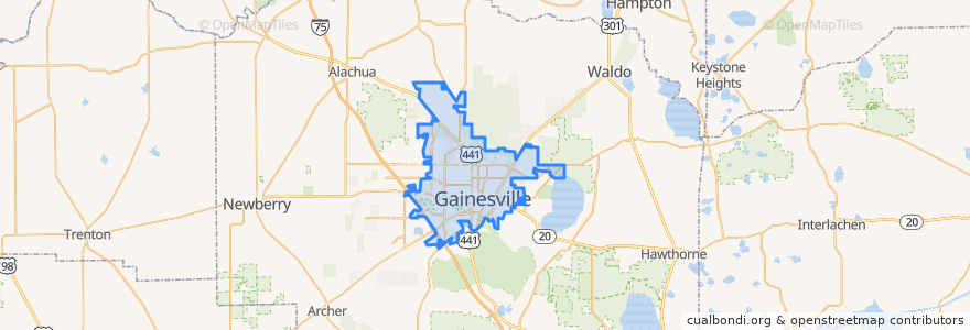
City Of Gainesville Municipal Boundaries
See in interactive map
Routes of public transport
East Circulator
Flixbus 2410: Gainesville => Miami
Flixbus 2410: Miami => Gainesville
UF North/South circulator
West Circulator
Places
Gainesville
(5)
Stops
FlixBus Gainesville
FlixBus Gainesville
Points of interest
Church of Christ University City
University United Methodist Church
Ronald McDonald House
Saint Augustine Church and Catholic Student Center
Reitz Union Food Court
Christian Study Center of Gainesville
Applebee's
Greater Liberty Hill United Methodist Church
Krispe Kreme Doughnuts
Geology Parking
University Lutheran Church & Student Center
Study Edge
University of Florida College of Public Health and Health Professions
University of Florida College of Nursing
Concord Coffee
Generation Church of God in Christ
Subway
Fresh Food Company
Jesus Christ of Nazareth Worship and Praise Temple
Arby's
SunState Federal Credit Union
Gainesville Community Church
City of Gainesville Municipal Boundaries
The Coop
Maude's Cafe
Dr. Pinkert
Episcopal Chapel of the Incarnation
Boca Fiesta
Kangaroo Express
Civic Media Center