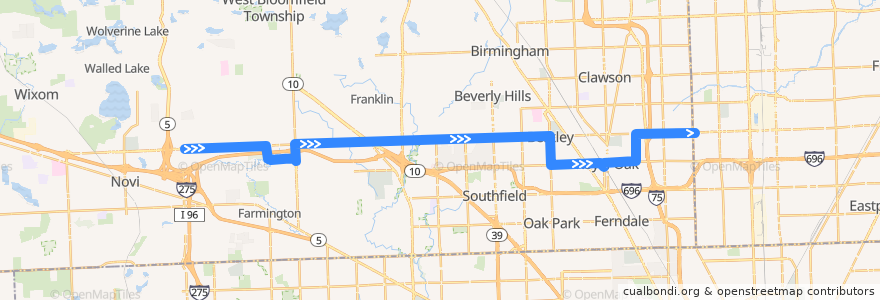
Route 740 EB: Haggerty => Dequindre
Places that travel to
Points of interest near the route
Stops:
- 11 Mile / Mortenson NS (EB)
- -83.185643, 42.5032088
- 12 Mile / Halsted (EB)
- -83.18362470000001, 42.495102200000005
- 12 Mile / Tessmer NS (EB)
- -83.20587350000001, 42.5028597
- 12 Mile / Franklin Hills (EB)
- 12 Mile / Streamwood (EB)
- 12 Mile / Lincolnview (EB)
- -83.09784470000001, 42.5049265
- 12 Mile / Murray Crescent (EB)
- 12 Mile / Red Leaf (EB)
- -83.088779, 42.5051426
- 11 Mile / West (EB)
- 11 Mile / Woodward (EB)
- 12 Mile / Guy (EB)
- 12 Mile / Howard (EB)
- -83.3985528, 42.497918600000006
- 12 Mile / White Plains NS (EB)
- -83.1244492, 42.490960300000005
- -83.23318420000001, 42.5021708
- -83.297739, 42.500817000000005
- 12 Mile / Oakshire (EB)
- -83.2447389, 42.5018867
- -83.1285514, 42.4902608
- -83.190054, 42.503091700000006
- -83.1019485, 42.504830600000005
- 12 Mile / Telegraph (EB)
- 11 Mile / Rembrandt (EB)
- -83.1075605, 42.5047073
- -83.24810190000001, 42.501815
- -83.26534840000001, 42.501436500000004
- -83.1663377, 42.4892332
- 12 Mile / Park NS (EB)
- Campbell / Gardenia (NB)
- Oakland / Orchard Lake NS (EB)
- 12 Mile / Westbrook (EB)
- -83.1189263, 42.504416600000006
- 12 Mile / Campbell Rd (EB)
- -83.1474025, 42.4884514
- 12 Mile / Rock Creek (EB)
- -83.3165841, 42.5003274
- 12 Mile / Lockdale (EB)
- 12 Mile / Drake NS (EB)
- 12 Mile / Investment (EB)
- -83.3126682, 42.500441900000006
- 12 Mile / Dartmouth (EB)
- 12 Mile / Credit Acceptance (EB)
- 12 Mile / Wakefield (EB)
- 12 Mile / Golf Pointe (EB)
- Eleven Mile / Humber NS (EB)
- -83.1212016, 42.504376900000004
- -83.34265520000001, 42.4996187
- -83.1413648, 42.489908500000006
- 12 Mile / Thomas (EB)
- -83.28438170000001, 42.501121000000005
- -83.09235740000001, 42.505053000000004
- -83.1520143, 42.4896528
- -83.2130997, 42.5027246
- -83.35825510000001, 42.4992278