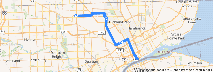
Itinerario 16 SB: Southfield => Jefferson
Luoghi nel percorso
Punti di interesse vicino al percorso
Fermate:
- -83.0816082, 42.367056500000004
- -83.1998006, 42.419454300000005
- Dexter / Joy (SB)
- -83.1352526, 42.3972234
- -83.1291412, 42.3871909
- -83.19421360000001, 42.419693900000006
- Curtis / Birwood (EB)
- -83.11614540000001, 42.3679587
- -83.1313212, 42.3904402
- -83.0873498, 42.364901200000006
- McNichols / Oak (EB)
- Larned / Financial District Station (EB)
- Grand Blvd W / Lincoln NS (EB)
- Grand Blvd W / Dexter (EB)
- Curtis / Monica (EB)
- Outer Dr W / Greenfield NS (EB)
- Dexter / Ewald Cir NS (SB)
- -83.1724878, 42.423962
- -83.1206865, 42.374651500000006
- -83.1765615, 42.420669000000004
- -83.17007120000001, 42.4240003
- -83.1845017, 42.4200208
- Dexter / Carter (SB)
- -83.1151985, 42.3665636
- Grand Blvd W / Lodge (EB)
- -83.12258750000001, 42.3774516
- -83.049447, 42.329187000000005
- Outer Dr W / Rutherford (EB)
- Outer Dr W / Lindsay (EB)
- Belden / Midland (SB)
- -83.1343258, 42.395201400000005
- Grand Blvd W / 3rd (EB)
- -83.17473550000001, 42.423923800000004
- Dexter / Euclid (SB)
- Outer Dr W / Thatcher (NB)
- Cass / State Hall (SB)
- Grand Blvd W / Holden (EB)
- Outer Dr W / Schaefer (EB)
- -83.0737113, 42.3680509
- -83.0627635, 42.3491671
- -83.2046746, 42.419351500000005
- -83.1081492, 42.357153800000006
- -83.11427300000001, 42.3652012
- -83.17506110000001, 42.422286400000004
- -83.14434100000001, 42.4243682
- Dexter / Hazelwood (SB)
- -83.214805, 42.419153200000004
- -83.1239134, 42.3794375
- Outer Dr W / Mark Twain (EB)
- -83.18162650000001, 42.4200792
- -83.1583016, 42.4242049
- Curtis / Outer Dr (EB)
- -83.0467206, 42.3279486
- -83.1869934, 42.4199855
- Cass / Peterboro (SB)
- -83.19167730000001, 42.4198352
- -83.1401809, 42.4171562
- Dexter / Bourke (SB)
- -83.1349876, 42.410245200000006
- -83.16244590000001, 42.4241454