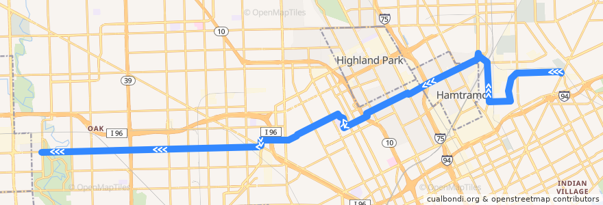
Route 38 WB: Gratiot => Outer Dr
Places that travel to
Points of interest near the route
Stops:
- St Cyril / Marjorie (SB)
- Elmhurst / Dexter NS (WB)
- Plymouth / Westwood (WB)
- Plymouth / Fielding (WB)
- Plymouth / Northlawn NS (WB)
- -83.0474178, 42.4043955
- Grinnell / McClellan NS (WB)
- Calvert / Woodrow Wilson (WB)
- Plymouth / Forrer (WB)
- Plymouth / Sussex (WB)
- Miller / St Cyril (WB)
- Collingwood / 3rd (WB)
- -83.20866410000001, 42.3724111
- -83.21401510000001, 42.3722985
- Calvert / Rosa Parks (WB)
- Calvert / La Salle NS (WB)
- Plymouth / Mansfield (WB)
- -83.02333820000001, 42.4009748
- Elmhurst / Wildemere (WB)
- La Salle / Lawrence (NB)
- Calvert / 14th (WB)
- Elmhurst / Petoskey (WB)
- -83.0429337, 42.406742400000006
- Caniff / Gallagher (WB)
- -83.1044428, 42.3827075
- -83.16855340000001, 42.3732218
- Plymouth / Wisconsin (WB)
- Plymouth / Abington (WB)
- -83.0665549, 42.3973358
- -83.11649530000001, 42.384373700000005
- Plymouth / Hubbell (WB)
- -83.0805581, 42.3926394
- -83.07839030000001, 42.3934585
- -83.0321466, 42.3904074
- -83.1013356, 42.3838391
- -83.1556838, 42.3735627
- Plymouth / Outer Dr (WB)
- Elmhurst / La Salle (WB)
- -83.1354695, 42.3769551
- Cloverlawn / Grand River NS (SB)
- -83.194619, 42.372643100000005
- -83.0693184, 42.39631
- Mt Elliott / Newhall (NB)
- -83.1394928, 42.3761481
- Collingwood / Woodward (WB)
- -83.1097014, 42.383095100000006
- Caniff / Dequindre (WB)
- Miller / Helen (WB)
- -83.21607250000001, 42.372262500000005
- -83.0931539, 42.3879207
- Elmhurst / Dexter (WB)
- Mt Elliott / Dorothy (NB)
- -83.03759330000001, 42.3979097
- -83.08633850000001, 42.390454500000004
- Mt Elliott / Evaline (NB)
- -83.23659020000001, 42.3718878
- Plymouth / Burt (WB)
- -83.0267233, 42.390466100000005
- -83.09851110000001, 42.385668200000005
- Mt Elliott / Marcus (NB)