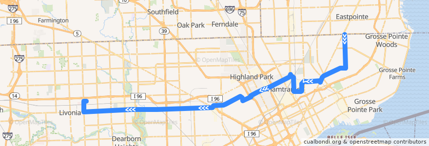
Route 38 WB: 8 Mile => Millennium Park
Places that travel to
Points of interest near the route
Stops:
- -83.2915308, 42.3708717
- Plymouth / Auburn (WB)
- Plymouth / Meyers (WB)
- -83.24149840000001, 42.3718735
- -83.21101490000001, 42.3723643
- Plymouth / Mansfield (WB)
- Caniff / Russell (WB)
- Collingwood / Woodward (WB)
- -83.14476470000001, 42.3760393
- -83.1660148, 42.3733092
- Mt Elliott / Newhall (NB)
- Elmhurst / Yellowstone (WB)
- Plymouth / Greenfield (WB)
- Plymouth / Ward (WB)
- -83.21607250000001, 42.372262500000005
- Middlebelt / Plymouth (NB)
- Plymouth / Bramell (WB)
- Elmhurst / Livernois (WB)
- -83.07706610000001, 42.393216100000004
- Plymouth / Braile (WB)
- Plymouth / Grayfield (WB)
- -83.27686460000001, 42.371307900000005
- -83.26598460000001, 42.371499
- -83.037384, 42.392658700000005
- -83.1502134, 42.3759439
- -83.113175, 42.385611000000004
- Grinnell / Erwin (WB)
- -83.14140370000001, 42.376112
- Plymouth / Woodmont (WB)
- -83.15151490000001, 42.3741186
- -83.243982, 42.3718577
- Plymouth / Piedmont (WB)
- Caniff / Dequindre (WB)
- Plymouth / Inkster (WB)
- -83.18828210000001, 42.372817000000005
- -83.3323958, 42.3691929
- -82.9976505, 42.404686600000005
- Plymouth / Westwood (WB)
- Harmon / Brush NS (WB)
- Mt Elliott / Evaline (NB)
- -83.2635652, 42.3715471
- Mt Elliott / Huber (NB)
- Elmhurst / Dexter NS (WB)
- Cloverlawn / Grand River NS (SB)
- -83.12960460000001, 42.379243200000005
- -83.13755900000001, 42.376158000000004
- -83.03386060000001, 42.390389500000005
- -83.3016281, 42.370529000000005
- -83.0474178, 42.4043955
- Elmhurst / Linwood (WB)
- Miller / Mt Elliott NS (WB)
- La Salle / Lawrence (NB)
- Elmhurst / La Salle (WB)
- -83.2015068, 42.372507500000005
- -83.194619, 42.372643100000005
- -83.0267233, 42.390466100000005
- -83.02333820000001, 42.4009748
- Plymouth / West Parkway (WB)
- Grinnell / McClellan NS (WB)
- Plymouth / Dixie (WB)