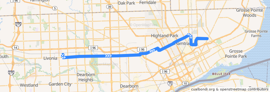
Route 38 EB: PRTC => Gratiot
Places that travel to
Points of interest near the route
Stops:
- -83.29827, 42.3706619
- Plymouth / Manor (EB)
- -83.29448500000001, 42.370806
- Mt Elliott / Edwin (SB)
- Plymouth / Telegraph (EB)
- -83.13267830000001, 42.378091000000005
- -83.2019211, 42.3725006
- Mt Elliott / Oliver (SB)
- -83.09484710000001, 42.3862121
- Trowbridge / Woodward (EB)
- -83.1928553, 42.3726908
- -83.2909556, 42.370884100000005
- -83.0857407, 42.3895538
- Plymouth / Grayfield (EB)
- Caniff / Joseph Campau (EB)
- -83.1950856, 42.372629800000006
- -83.11527620000001, 42.383799100000005
- -83.1207998, 42.381736000000004
- Caniff / Cardoni (EB)
- -83.10070710000001, 42.384065500000005
- Plymouth / Shirley (EB)
- Caniff / Cameron (EB)
- Calvert / Byron (EB)
- -83.0470162, 42.404546200000006
- St Cyril / Kern (NB)
- Plymouth / Asbury Park (EB)
- Plymouth Road Technical Center
- Caniff / Gallagher (EB)
- -83.1907015, 42.372756300000006
- Plymouth / Terry (EB)
- Mound / Caniff (NB)
- -83.2861239, 42.3709852
- Tuxedo / Wildemere (EB)
- -83.0523495, 42.4025553
- -83.03766350000001, 42.400294800000005
- Grinnell / Erwin (EB)
- -83.2200943, 42.3721886
- Plymouth / Coyle (EB)
- -83.0374252, 42.3937077
- Elmhurst / Oakman (EB)
- -83.017359, 42.40092
- Plymouth / Grandville (EB)
- Plymouth / Montrose (EB)
- Calvert / Rosa Parks (EB)
- -83.0977707, 42.3851305
- Calvert / 2nd (EB)
- Mt Elliott / Doremus (SB)
- -83.2518196, 42.3717466
- -83.0560421, 42.4011914
- -83.0375643, 42.3972197
- -83.1386289, 42.376141100000005
- -83.026852, 42.3958193
- -83.16666740000001, 42.3732823
- Plymouth / Greenview (EB)
- -83.32430910000001, 42.3743435
- -83.0437546, 42.405794
- -83.1850352, 42.3728892
- Plymouth / Southfield (EB)
- Calvert / 3rd (EB)
- -83.214211, 42.3722964