وارد شدن
کاربران ستاره
نظرسنجی
شروع
>
استرالیا
>
Western Australia
>
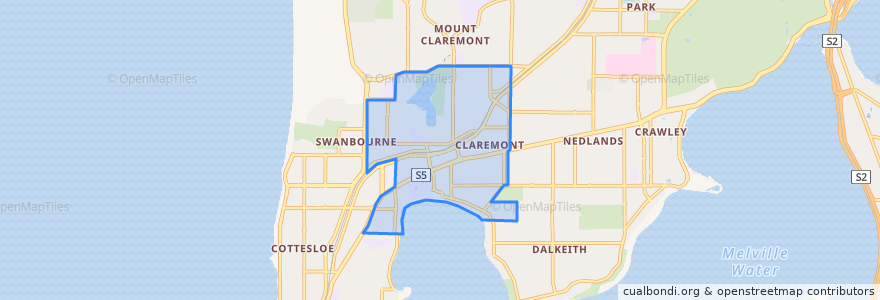
Town of Claremont
Town Of Claremont
در نقشه تعاملی مشاهده کنید
مسیرهای حمل و نقل عمومی
995F Elizabeth Quay Bus Station → Claremont Station
995T Claremont Station → Elizabeth Quay Bus Station
Airport Line: Claremont → High Wycombe
Airport Line: High Wycombe → Claremont
Fremantle Line: Fremante → Perth
Fremantle Line: Perth → Fremantle
ایستگاه
Claremont
Swanbourne
Leura Avenue before Gugeri Street
Stirling Highway after Bay Road
Claremont Station Stand 1
Stirling Highway before Loftus Street
Stirling Highway before Bay Road
Stirling Highway before Walter Street
Showgrounds
Claremont Station Stand 6
Showgrounds
Swanbourne
Claremont
Loch Street
Leura Avenue after Gugeri Street
Stirling Highway before Mary Street
Stirling Highway after John Street
نقاط مورد علاقه
Town of Claremont
City of Nedlands