Ouverture de session
Utilisateurs étoile
Sondage
Accueil
>
Australie
>
Australie occidentale
>
Town of Claremont
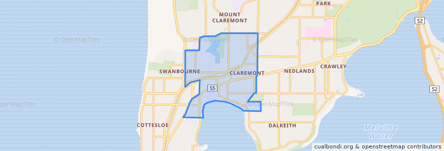
Town Of Claremont
Voir sur la carte interactive
Itinéraires des transports publics
995F Elizabeth Quay Bus Station → Claremont Station
995T Claremont Station → Elizabeth Quay Bus Station
Airport Line: Claremont → High Wycombe
Airport Line: High Wycombe → Claremont
Fremantle Line: Fremante → Perth
Fremantle Line: Perth → Fremantle
Arrêts
Swanbourne
Leura Avenue after Gugeri Street
Stirling Highway after Bay Road
Stirling Highway before Bay Road
Showgrounds
Showgrounds
Claremont Station Stand 6
Stirling Highway before Mary Street
Loch Street
Swanbourne
Leura Avenue before Gugeri Street
Stirling Highway after John Street
Claremont
Claremont
Stirling Highway before Walter Street
Claremont Station Stand 1
Stirling Highway before Loftus Street
Points d'interêts
Town of Claremont
City of Nedlands