Login
Usuarios estrella
Encuesta
Inicio
>
Australia
>
Victoria
>
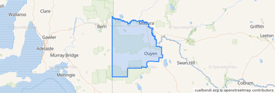
Rural City of Mildura
Rural City Of Mildura
Ver en mapa interactivo
Recorridos de transporte público
Adelaide bus station => Albury railway station
Albury railway station => Adelaide bus station
Centro Mildura - Mildura (Kmart) via Ontario Avenue
Centro Mildura - South Mildura Loop
Centro Mildura - Wentworth via Mildura & Buronga
Melbourne (Southern Cross Station) - Mildura
Mildura (Kmart) - Centro Mildura via Ontario Avenue
Mildura - Melbourne (Southern Cross Station)
Paradas
General Store
Ouyen Community Park
General Store
General Store
Ouyen Community Park
Sharrock Street
Sharrock Street
General Store
General Store
Mildura Railway Station
Sharrock Street
Sharrock Street
General Store
General Store
Mildura Railway Station
General Store
Puntos de interés
Rural City of Mildura
Sunray Pizza
Domino's
The Bistro Mildura
ATM
blk.mlk Specialty Coffee
Mildura Gateway Tavern
OTR Mildura
Midura Brewery Pub
Café 1909
Commonwealth Bank
Tankard Dental
Ristretto & Kitchen
Sunraysia Farmers Market
Hog's Breath Cafe
Ampol
Stefano's Cafe
Sandbar
Ramsay Specialist Health Clinic
Nash Lane
doms
BOM
dockside cafe
NRMA Fast Charger
Pinno's Pizza & Pasta Bar
Zambrero
Mobil
Mildura Noodle & Pasta Bar
Bobby + Me
Corporate Moose