로그인
스타 사용자
투표
홈페이지
>
오스트레일리아
>
South Australia
>
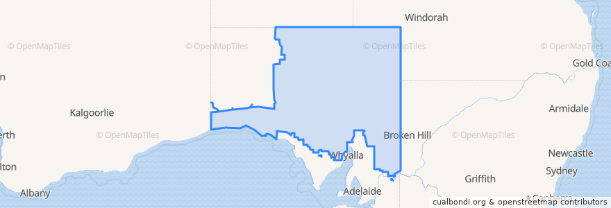
Pastoral Unincorporated Area
Pastoral Unincorporated Area
Constitutes 63% of the land area of the State of South Australia
대화식지도에서보기
대중 교통 경로
The Ghan
Train Indian Pacific
Train Indian Pacific
버스 정류장
Cook
가볼만한 곳
Olary Rest Area
Ampol 24hr Card
Mannahill Rest Area
Fuel- Automated Diesel
Yunta Post Office
Municipal Council of Roxby Downs
Hunts Fuel
Perrys 24Hr Card
Yunta Rural School
Yunta Hotel
Yunta Police Station
Spuds Roadhouse
Olary Hotel
Mobil
Manna Hill Police Station
The District Council of Coober Pedy
Pastoral Unincorporated Area
Mannahill Hotel
South Australia
Mannahill Hotel
Yunta Centenary Park
RFDS Clinic Yunta
Mobil 24hr Card
Olary Hotel
Cockburn Police Station
Ampol Yunta
Mobil
Mannahill Rest Area
Yunta District Hall Inc.
Manna Hill Refreshment Stop