Accesso
Utenti preferiti
Sondaggio
Homepage
>
Australia
>
Nuovo Galles del Sud
>
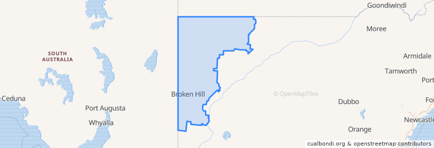
Unincorporated Area
Unincorporated Area
Visualizza nella mappa interattiva
Percorsi di trasporto pubblico
Broken Hill Xplorer
Broken Hill Xplorer
Bus 592: Broken Hill CBD => Thomas via Broken Hill Base Hospital
Train Indian Pacific
Train Indian Pacific
Fermate
Oxide St at Wyman St
Oxide St before Chapple St
Cummins St at Oxide St
Thomas St at Bromide St
Zebina St at Fisher St
Wyman St at Iodide St
Cummins St at Kaolin St
Cummins St at Gossan St
Broken Hill
Argent St before Oxide St
Cummins St at Chloride St
Argent St before Oxide St
Morgan St at Jones St
Thomas St at Oxide St
Brookfield Ave at Morgan St
Oxide St before Chapple St
Morgan St at Garnet St
Thomas St opp Broken Hill Base Hospital
Thomas St at Kaolin St
Punti di interesse
Broken Hill Post Office
Junction Hotel
The Broken Hill Pub
Mount Gipps Rest Area
Broken Hill Library
ANZ
Redlush
Silvers restaurant
Broken Earth Cafe
Broken Hill Police Station
Black Lion Inn
Theatre Royal Hotel
Masallas Indian Take Away
Outback Pharmacies
Unincorporated Area
Mobil
Liberty
Haven
Mount Gipps Rest Area
Silver City Chinese Restaurant
Broken Hill City Council
Trinders in the Astra
Cafe Alfresco
Broken Hill City Council
Silver City Cinema
st.george