ログインする
スターユーザー
投票
ホーム
>
オーストラリア
>
ニューサウスウェールズ
>
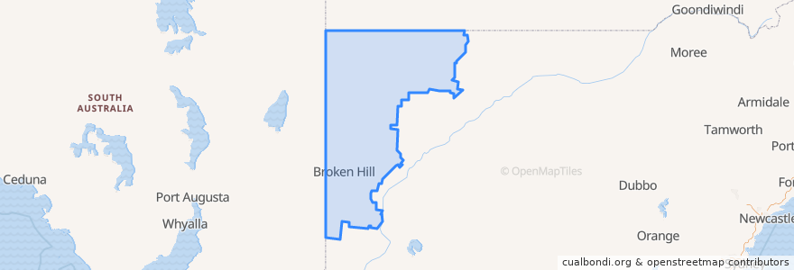
Unincorporated Area
Unincorporated Area
インタラクティブマップで見る
公共交通機関のルート
Broken Hill Xplorer
Broken Hill Xplorer
Bus 592: Broken Hill CBD => Thomas via Broken Hill Base Hospital
Train Indian Pacific
Train Indian Pacific
ストップ
Cummins St at Kaolin St
Oxide St before Chapple St
Argent St before Oxide St
Morgan St at Jones St
Wyman St at Iodide St
Thomas St at Oxide St
Broken Hill
Cummins St at Chloride St
Thomas St opp Broken Hill Base Hospital
Oxide St at Wyman St
Oxide St before Chapple St
Argent St before Oxide St
Cummins St at Gossan St
Brookfield Ave at Morgan St
Thomas St at Kaolin St
Zebina St at Fisher St
Cummins St at Oxide St
Morgan St at Garnet St
Thomas St at Bromide St
興味がある点
Redlush
Black Lion Inn
Mount Gipps Rest Area
st.george
Haven
Unincorporated Area
Broken Hill Library
Theatre Royal Hotel
Cafe Alfresco
ANZ
Broken Hill City Council
Outback Pharmacies
Broken Hill Police Station
Masallas Indian Take Away
The Broken Hill Pub
Silvers restaurant
Broken Earth Cafe
Liberty
Silver City Chinese Restaurant
Mount Gipps Rest Area
Broken Hill Post Office
Silver City Cinema
Junction Hotel
Broken Hill City Council
Trinders in the Astra
Mobil