Ouverture de session
Utilisateurs étoile
Sondage
Accueil
>
Brésil
>
Région Sud
>
Rio Grande do Sul
>
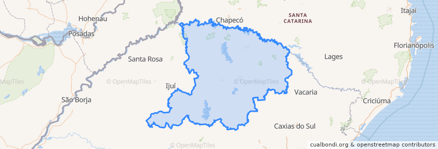
Região Geográfica Intermediária de Passo Fundo
Região Geográfica Intermediária De Passo Fundo
Voir sur la carte interactive
Itinéraires des transports publics
Cruz Alta → Santa Maria
Cruz Alta → Santa Maria
Erechim → Santa Maria via BR-285
Santa Maria → Cruz Alta
Santa Maria → Cruz Alta
Santa Maria → Erechim via BR-285
Santa Maria → Santo Ângelo
Santa Maria → Santo Ângelo
Santa Maria → Tupanciretã
Santa Maria → Tupanciretã
Santa Rosa → Santa Maria via RS-344 e Cruz Alta
Santo Ângelo → Santa Maria
Santo Ângelo → Santa Maria
Tupanciretã → Santa Maria
Tupanciretã → Santa Maria
Endroits
Região Geográfica Imediata de Cruz Alta
(15)
Região Geográfica Imediata de Carazinho
(2)
Região Geográfica Imediata de Erechim
(2)
Região Geográfica Imediata de Passo Fundo
(2)
Nova Alvorada
(0)
Região Geográfica Imediata de Frederico Westphalen
(0)
Região Geográfica Imediata de Lagoa Vermelha
(0)
Região Geográfica Imediata de Marau
(0)
Região Geográfica Imediata de Nonoai
(0)
Região Geográfica Imediata de Palmeira das Missões
(0)
Região Geográfica Imediata de Soledade
(0)
Região Geográfica Imediata de Tapejara - Sananduva
(0)
Trindade do Sul
(0)
Arrêts
Rodoviária de Cruz Alta
Rodoviária de Tupanciretã
Rodoviária de Erechim
Points d'interêts
Capão Bonito do Sul
Tupanciretã
Caiçara
Estação
Engenho Velho
Quatro Irmãos
Arvorezinha
Rio dos Índios
Ibirapuitã
São Valentim
Severiano de Almeida
Santo Antônio do Palma
Cerro Grande
Lagoa Vermelha
Região Geográfica Imediata de Tapejara - Sananduva
Campos Borges
Ametista do Sul
Pinheirinho do Vale
Maximiliano de Almeida
Escola Estadual de primeiro grau Manoel Arruda Camara
Igreja de Fatima
Lavagem e Borracharia
Posto Quinzani
Floriano Peixoto
Ernestina
Posto Ivai
Hipster
Posto de saude Passo da Areia
Restaurante e Churrascaria Pasqualli
The Bagual Burger