Ouverture de session
Utilisateurs étoile
Sondage
Accueil
>
Brésil
>
Région Sud
>
Rio Grande do Sul
>
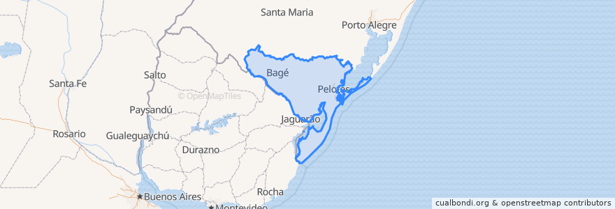
Região Geográfica Intermediária de Pelotas
Região Geográfica Intermediária De Pelotas
Voir sur la carte interactive
Itinéraires des transports publics
Bagé -> Santa Maria via Caçapava do Sul
Dom Pedrito → Santa Maria
Dom Pedrito → Santa Maria
Dom Pedrito → São Gabriel
Rio Grande → Santa Maria
Rio Grande → Santa Maria
Rio Grande → Santa Maria
Santa Maria → Bagé via Caçapaca do Sul
Santa Maria → Dom Pedrito
Santa Maria → Dom Pedrito
Santa Maria → Rio Grande
Santa Maria → Rio Grande
São Gabriel → Dom Pedrito
Endroits
Região Geográfica Imediata de Bagé
(8)
Aglomeração Urbana do Sul
(5)
Região Geográfica Imediata de Pelotas
(5)
Rio Grande
(5)
Bagé
(2)
Cerrillada
(0)
Arrêts
-52.359009300000004, -31.755654800000002
-52.150995200000004, -32.0628793
-54.094764600000005, -31.320544400000003
-52.6788358, -31.398534400000003
-54.67382610000001, -30.9766577
Points d'interêts
EMEF Alcides Maia
Churros Mania
Aceguá
Tio Lano
Mix Lanches
Candiota
Salão 5 Estrelas
Dose Única
Churrascaria Ongaratto Povo Novo
A Casa da Alaminuta
Ponto 8
Região Geográfica Imediata de Pelotas
Sicredi
Prefeitura Municiapal de Bagé
CRAS Equipe Volante - Cidade de Águeda - Centro de Referência em Assistência Social
Requinte Estética Automotiva
Restaurante Rockenback
Fragafarma
Trevo Lava Jato
UBS Prisional (Penitenciária)
D.T.G Tamgara
Bagé
Veterinária Silveira
Posto Coqueiro
EMEF Zenir de Souza Braga
Baby Lanches
Consultório Dent. Amauri Veneciam
Polícia Rodoviária Estadual
PRF - Polícia Rodoviária Federal
Edo Carvalho