Accesso
Utenti preferiti
Sondaggio
Homepage
>
Brasile
>
Regione Sud
>
Rio Grande do Sul
>
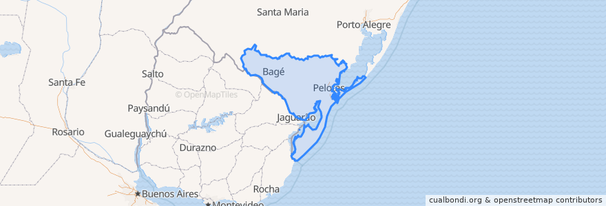
Região Geográfica Intermediária de Pelotas
Região Geográfica Intermediária De Pelotas
Visualizza nella mappa interattiva
Percorsi di trasporto pubblico
Bagé -> Santa Maria via Caçapava do Sul
Dom Pedrito → Santa Maria
Dom Pedrito → Santa Maria
Dom Pedrito → São Gabriel
Rio Grande → Santa Maria
Rio Grande → Santa Maria
Rio Grande → Santa Maria
Santa Maria → Bagé via Caçapaca do Sul
Santa Maria → Dom Pedrito
Santa Maria → Dom Pedrito
Santa Maria → Rio Grande
Santa Maria → Rio Grande
São Gabriel → Dom Pedrito
Posti
Região Geográfica Imediata de Bagé
(8)
Aglomeração Urbana do Sul
(5)
Região Geográfica Imediata de Pelotas
(5)
Rio Grande
(5)
Bagé
(2)
Cerrillada
(0)
Fermate
-52.6788358, -31.398534400000003
-54.094764600000005, -31.320544400000003
-52.359009300000004, -31.755654800000002
-54.67382610000001, -30.9766577
-52.150995200000004, -32.0628793
Punti di interesse
D.T.G Rincão das Dunas
Posto Coqueiro
EMEF Zenir de Souza Braga
E.E.E.F. Almirante Tamandaré
Restaurante e Lancheria Universitário
Banrisul
Os Mensageiros de Cristo
Posto Estoril
UBS Simões Lopes
Estacionamento Restaurante Expresso Bier
Farmácia Visconde da Graça
Yo Shake!
CTG Crioulos do Ponche Verde
Ponto 7
Trevo Lava Jato
Templo Murajo do Amanhecer
Apetitar
Pelotas
Hulha Negra
Kopereck
Dose Única
Fitazul
Igreja Luterana - IELB
Bagé Lanches
Posto Quinta
Bianca Wetzel
Sanar Farmácias
Nova Expresso
Região Geográfica Intermediária de Pelotas
Alvorada