로그인
스타 사용자
투표
홈페이지
>
독일
>
바이에른 주
>
오버프랑켄 현
>
Landkreis Bayreuth
>
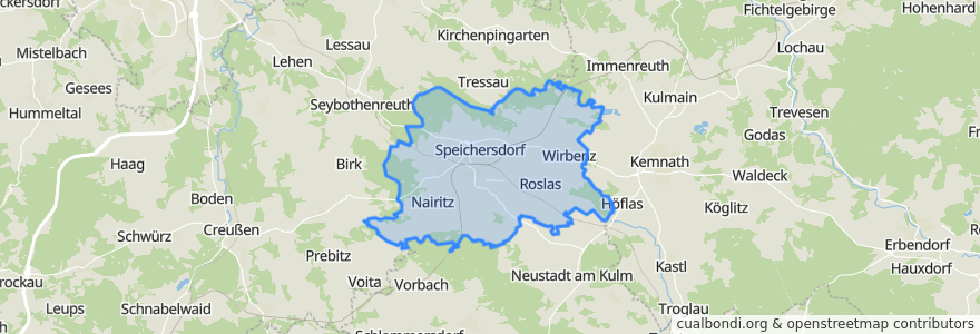
Speichersdorf
Speichersdorf
대화식지도에서보기
대중 교통 경로
RB 34: Weidenberg => Stockau => Kirchenlaibach
RB 34: Weiden => Kirchenlaibach => Bayreuth =>Weidenberg
RB 34: Weiden => Kirchenlaibach => Stockau => Bayreuth => Weidenberg
RB 97: Bad Steben => Bayreuth
RE 31: Hof => Nürnberg
RE 31: Nürnberg => Hof
RE 33: Cheb (CZ) => Nürnberg
RE 33: Nürnberg => Cheb (CZ)
Regionalbahn R34: Bayreuth Hauptbahnhof => Kirchenlaibach
Regionalbahn R34: Bayreuth Hauptbahnhof => Stockau => Kirchenlaibach
Regionalbahn R34: Kirchenlaibach => Bayreuth Hauptbahnhof
Regionalbahn R34: Kirchenlaibach => Ramsenthal
Regionalbahn R34: Kirchenlaibach => Stockau => Bayreuth Hauptbahnhof
Regionalbahn R34: Ramsenthal => Kirchenlaibach
버스 정류장
Kirchenlaibach
Kirchenlaibach
Haidenaab-Göppmannsbühl
Kirchenlaibach
가볼만한 곳
Cafe Küffner
Speichersdorf
Raiffeisenbank
Apotheke Speichersdorf
Dolce Gusto
Seniorentagespflege Senta
Schulbrunnen