Log masuk
Pengguna bintang
Undian
Laman utama
>
Jerman
>
Bavaria
>
Oberfranken
>
Landkreis Bayreuth
>
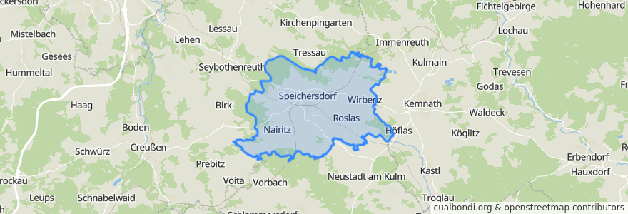
Speichersdorf
Speichersdorf
Lihat di peta interaktif
Laluan pengangkutan awam
RB 34: Weidenberg => Stockau => Kirchenlaibach
RB 34: Weiden => Kirchenlaibach => Bayreuth =>Weidenberg
RB 34: Weiden => Kirchenlaibach => Stockau => Bayreuth => Weidenberg
RB 97: Bad Steben => Bayreuth
RE 31: Hof => Nürnberg
RE 31: Nürnberg => Hof
RE 33: Cheb (CZ) => Nürnberg
RE 33: Nürnberg => Cheb (CZ)
Regionalbahn R34: Bayreuth Hauptbahnhof => Kirchenlaibach
Regionalbahn R34: Bayreuth Hauptbahnhof => Stockau => Kirchenlaibach
Regionalbahn R34: Kirchenlaibach => Bayreuth Hauptbahnhof
Regionalbahn R34: Kirchenlaibach => Ramsenthal
Regionalbahn R34: Kirchenlaibach => Stockau => Bayreuth Hauptbahnhof
Regionalbahn R34: Ramsenthal => Kirchenlaibach
Perhentian
Kirchenlaibach
Kirchenlaibach
Kirchenlaibach
Haidenaab-Göppmannsbühl
Tempat menarik
Apotheke Speichersdorf
Raiffeisenbank
Cafe Küffner
Speichersdorf
Seniorentagespflege Senta
Schulbrunnen
Dolce Gusto