Login
Star users
Poll
Home
>
Germany
>
Bavaria
>
Upper Franconia
>
Landkreis Forchheim
>
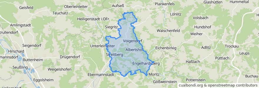
Wiesenttal
Wiesenttal
See in interactive map
Routes of public transport
DE_VGN_389
DE_VGN_389
DE_VGN_389_Gegenrichtung
Regionalbus 231: Ebermannstadt - Albertshof - Draisendorf - Kohlstein
Regionalbus 231: Kohlstein - Draisendorf - Albertshof - Ebermannstadt
Regionalbus 231: Kohlstein - Muggendorf - Ebermannstadt
Regional-/Rufbus 231: Draisendorf - Ebermannstadt
Regional-/Rufbus 231: Ebermannstadt - Draisendorf
Stops
Engelhardsberg
11.2553658, 49.8515516
Voigendorf
Streitberg Bürgerhaus
Störnhof
Forchheimer Straße
11.25141, 49.8520234
Gößmannsberg
Wüstenstein Tal
B470
Engelhardsberg
Forchheimer Straße
Draisendorf
Gößmannsberg
11.227813300000001, 49.823463700000005
Wüstenstein Tal
Streitberg B 470
Albertshof
Gasthaus Kohlmann
Draisendorf
Gasthaus Kohlmann
Oberfellendorf
Voigendorf
Oberfellendorf
Forchheimer Straße
Albertshof
Streitberg B 470
11.2515824, 49.8513147
Wüstenstein Berg
Engelhardsberg Aussiedlerhof
Points of interest
Feuerwehr Streitberg
Brückla
Goldner Stern
Enzo
Sparkasse
Volksschule Wiesenttal
1 Meter Blitz Pizza
Wiesenttal
Sparkasse
Hermannsruh
Sparkasse
Verlobungsecke
No 9
Raststation Engelhardsberg
Markt-Apotheke
Gasthof Schoberth
Liselottebrunnen
Bürgerhaus
Gasthof und Edelbrennerei Walch
Gasthaus Sponsel
Auferstehung Christi
Gasthaus Hofmann
Sonne
Hotel Gasthof Schwarzer Adler
Freiwillige Feuerwehr Engelhardsberg
Burg Gaillenreuth
Burg Gaillenreuth
Landgasthof Steinbrecher
Kirchenruine Heiliger Bühl
Gasthof zur Wolfsschlucht