Oturum aç
Yıldız kullanıcılar
Anket
anasayfa
>
Almanya
>
Bavyera
>
Oberfranken
>
Landkreis Forchheim
>
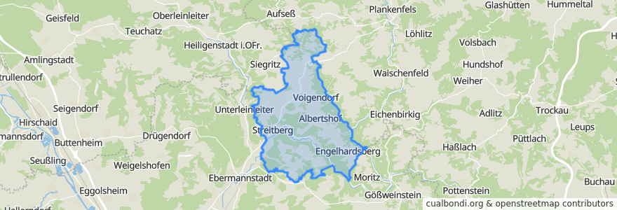
Wiesenttal
Wiesenttal
Etkileşimli haritada görüntüle
Toplu taşıma yolları
DE_VGN_389
DE_VGN_389
DE_VGN_389_Gegenrichtung
Regionalbus 231: Ebermannstadt - Albertshof - Draisendorf - Kohlstein
Regionalbus 231: Kohlstein - Draisendorf - Albertshof - Ebermannstadt
Regionalbus 231: Kohlstein - Muggendorf - Ebermannstadt
Regional-/Rufbus 231: Draisendorf - Ebermannstadt
Regional-/Rufbus 231: Ebermannstadt - Draisendorf
Durur
Streitberg Bürgerhaus
B470
Albertshof
11.227813300000001, 49.823463700000005
11.25141, 49.8520234
Voigendorf
Engelhardsberg Aussiedlerhof
Störnhof
Voigendorf
Draisendorf
Neudorf
Wöhr
Wöhr
Gasthaus Kohlmann
Engelhardsberg
Oberfellendorf
Gößmannsberg
Wüstenstein Tal
Streitberg B 470
Forchheimer Straße
Engelhardsberg Aussiedlerhof
Albertshof
Wüstenstein Tal
Oberfellendorf
Engelhardsberg
Forchheimer Straße
Wüstenstein Berg
11.2553658, 49.8515516
Streitberg B 470
Draisendorf
İlgi noktaları
Felsenkapelle
Kirchenruine Heiliger Bühl
Dr. med. Peter Wohlleben
Wellnessliege
Gasthof Schoberth
Sparkasse
1 Meter Blitz Pizza
Wiesenttal
Enzo
Liselottebrunnen
Hermannsruh
Raststation Engelhardsberg
Sparkasse
Wandertanke
Verlobungsecke
Landgasthof Steinbrecher
Goldner Stern
No 9
Gasthof zur Wolfsschlucht
Volksbank
Restaurant Saloniki
Brückla
Sonne
Hotel Cafe Eberhard
Bürgerhaus
Hotel Gasthof Schwarzer Adler
Markt-Apotheke
Goldner Stern
Gasthof und Edelbrennerei Walch
Freiwillige Feuerwehr Engelhardsberg