Login
Star users
Poll
Home
>
Germany
>
Bavaria
>
Lower Bavaria
>
Landkreis Regen
>
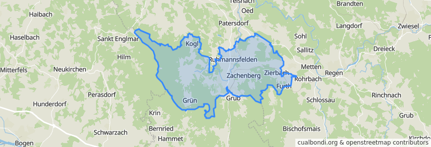
Ruhmannsfelden (VGem)
Ruhmannsfelden (Vgem)
See in interactive map
Routes of public transport
Bus RBO 6195 (11) Regen - Teisnach - Viechtach
Bus RBO 7025 Viechtach - Gotteszell
Bus RBO 7126 Arnbruck - Gotteszell
RB 35: Bayerisch Eisenstein => Plattling
RB 35: Plattling => Bayerisch Eisenstein
RB 38: Gotteszell => Viechtach
RB 38: Viechtach => Gotteszell
Places
Zachenberg
(7)
Ruhmannsfelden
(4)
Gotteszell
(1)
Achslach
(0)
Stops
Ruhmannsfelden, Edeka
Ruhmannsfelden, B11 (Süd)
Zachenberg
Bruckmühle
Ruhmannsfelden, B11 (Nord)
Gotteszell Bhf
Gotteszell
Ruhmannsfelden
Kirchweg
Zachenberg
Gotteszell
Triefenried, Bahnhof
Kirchweg
Triefenried
Gotteszell
Triefenried, Ort
Bullenhof (B11)
Triefenried
Points of interest
Ruhmannsfelden (VGem)
Beach Bar
Ruhmannsfelden
Diskothek Casablanca
Zachenberg
Pizzeria Bellini
Aral
Dr. Robert B.C. Jaschnik
Fahrschule Friedrich, Inh. Franz Hübner
Weber
Pizzeria Roma
Achslach
Gotteszell
FF Zachenberg
E-WALD Ladestation
Gasthaus Kopp