Ouverture de session
Utilisateurs étoile
Sondage
Accueil
>
Allemagne
>
Bavière
>
Basse-Bavière
>
Landkreis Regen
>
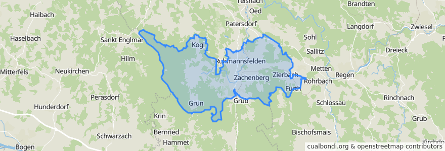
Ruhmannsfelden (VGem)
Ruhmannsfelden (Vgem)
Voir sur la carte interactive
Itinéraires des transports publics
Bus RBO 6195 (11) Regen - Teisnach - Viechtach
Bus RBO 7025 Viechtach - Gotteszell
Bus RBO 7126 Arnbruck - Gotteszell
RB 35: Bayerisch Eisenstein => Plattling
RB 35: Plattling => Bayerisch Eisenstein
RB 38: Gotteszell => Viechtach
RB 38: Viechtach => Gotteszell
Endroits
Zachenberg
(7)
Ruhmannsfelden
(4)
Gotteszell
(1)
Achslach
(0)
Arrêts
Ruhmannsfelden
Zachenberg
Bruckmühle
Kirchweg
Ruhmannsfelden, B11 (Nord)
Bullenhof (B11)
Gotteszell Bhf
Triefenried, Bahnhof
Ruhmannsfelden, B11 (Süd)
Triefenried, Ort
Gotteszell
Kirchweg
Ruhmannsfelden, Edeka
Zachenberg
Gotteszell
Gotteszell
Triefenried
Triefenried
Points d'interêts
Fahrschule Friedrich, Inh. Franz Hübner
Zachenberg
Gotteszell
Ruhmannsfelden (VGem)
Ruhmannsfelden
Pizzeria Roma
Dr. Robert B.C. Jaschnik
Achslach
E-WALD Ladestation
FF Zachenberg
Aral
Weber
Gasthaus Kopp
Diskothek Casablanca
Pizzeria Bellini
Beach Bar