로그인
스타 사용자
투표
홈페이지
>
미국
>
아칸소
>
Pulaski County
>
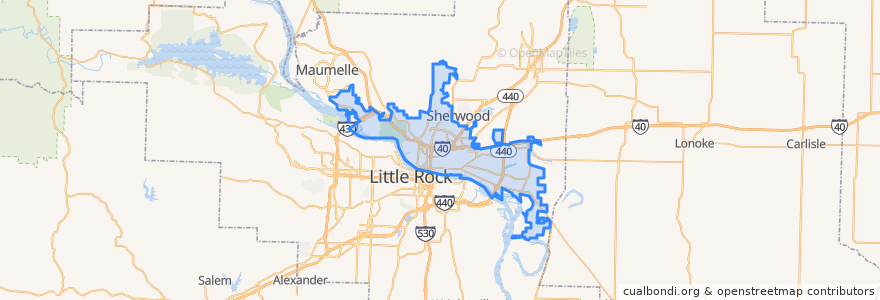
North Little Rock
North Little Rock
대화식지도에서보기
대중 교통 경로
Riute 07 - Shorter College - Outbound
Route 04 - Levy / Amboy - Inbound
Route 04 - Levy/Amboy - Outbound
Route 07 - Shorter College - Inbound
Route 10 - McCain Mall - Inbound
Route 13 - Pulaski Technical College - Inbound
Route 13 - Pulaski Technical College - Outbound
Route 18 - McAlmont - Inbound
Route 18 - McAlmont - Outbound
Route 26 - Maumelle/Oak Grove Express - PM
Route 36 - Jacksonville/Sherwood Express - Inbound
Route 36 - Jacksonville / Sherwood Express - Outbound
가볼만한 곳
Eighteenth Street Freewill Baptist Church
Waffle House
United Church of God in Christ
North Little Rock
Shorter College
Bethel African Methodist Episcopal Church
North Little Rock Fire Department Station 7
Hillside School
Freddy's
Fortyseventh Street Baptist Church
Dark Side Coffee Company
Church's Chicken
Gethsemane Baptist Church
Glenview Elementary School
KFC
First Church of the Nazarene
TGI Friday's
North Little Rock Police Department Hemlock Courts Office
Park Hill Presbyterian Church
Dixie Church of Christ
Moe's Southwest Grill
Benihana
North Heights Elementary School
Baring Cross Baptist Church
Saint Matthews Temple Church of God in Christ
Bethel Apostolic Church
Waffle House
A W Young Library
Jabob's
Calvary Temple Church