Log masuk
Pengguna bintang
Undian
Laman utama
>
Amerika Syarikat
>
Arkansas
>
Pulaski County
>
North Little Rock
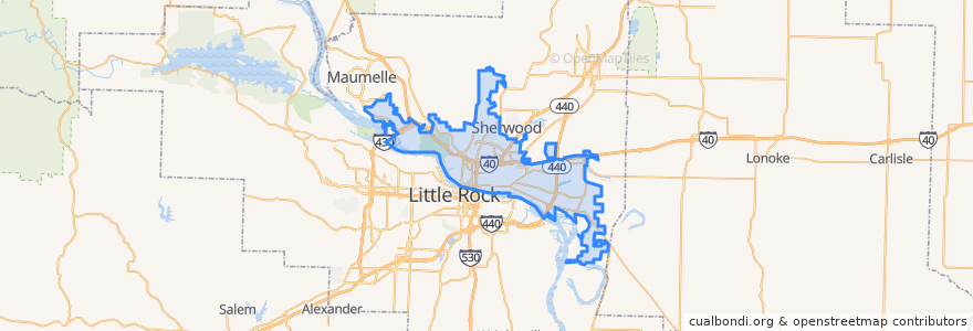
North Little Rock
Lihat di peta interaktif
Laluan pengangkutan awam
Riute 07 - Shorter College - Outbound
Route 04 - Levy / Amboy - Inbound
Route 04 - Levy/Amboy - Outbound
Route 07 - Shorter College - Inbound
Route 10 - McCain Mall - Inbound
Route 13 - Pulaski Technical College - Inbound
Route 13 - Pulaski Technical College - Outbound
Route 18 - McAlmont - Inbound
Route 18 - McAlmont - Outbound
Route 26 - Maumelle/Oak Grove Express - PM
Route 36 - Jacksonville/Sherwood Express - Inbound
Route 36 - Jacksonville / Sherwood Express - Outbound
Tempat menarik
Grace Baptist Church
Smoky Lane Church
North Little Rock Fire Department Station 3
Saint Matthews Temple Church of God in Christ
Vets and Pets Veterinary Clinic
Meadow Park Elementary School
Fuller Chapel Primitive Baptist Church
Chili's
Seventh Street Elementary School
King Solomon Baptist Church
Taqueria Guadelajara
Crazy Hibatchi
North Little Rock Fire Department Station 6
Lakewood United Methodist Church
First Freewill Baptist Church
Levy Elementary School
Crystal Hill Church
Institute of Divine Metaphysical Research
BJ's
Shepherd of the Hills Lutheran Church
Foursquare Church of North Little Rock
Glad Tidings Assembly of God Church
McDonald's
Firehouse Subs
North Heights Elementary School
Redwood Pre-School
Bank of America
Taco Bell
LongHorn Steakhouse
Levy Baptist Church