Login
Star users
Poll
Home
>
United States
>
California
>
Kings County
>
Hanford
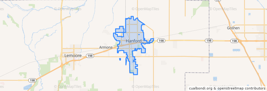
Hanford
See in interactive map
Routes of public transport
Amtrak San Joaquins: Bakersfield => Oakland
Amtrak San Joaquins: Bakersfield => Sacramento
Amtrak San Joaquins: Oakland => Bakersfield
Amtrak San Joaquins: Sacramento => Bakersfield
Hanford - Laton
Hanford - Laton
Hanford - Laton
Hanford - Laton
Hanford - Lemoore
Hanford - NAS
Hanford - NAS
Northeast Hanford
North Hanford
West Hanford
Stops
Hanford
Hanford
Points of interest
Victory Outreach Hanford Church
Starbucks
Kings County Courthouse
Toshiko
Chevron
Bank of the Sierra
A&W
Black Bear Diner
Chevron
The Remington
Kings County Jail
Union Bank
Thomas McCarthy Memorial School
Burger King
Sonic
Pizza Hut
Jimmy John's
Crossroads Christian Fellowship Church
First Southern Baptist Church
Hanford Bilingual Seventh-day Adventist Church
First Church of Christ Scientist
Metro 4 Cinema
Church of Christ
First Baptist Church
Monroe School
Church of Revelation
Folsom Temple Church of God in Christ
Hanford
Cold Stone Creamery
Subway