Login
Star users
Poll
Home
>
United States
>
California
>
Kings County
>
Hanford
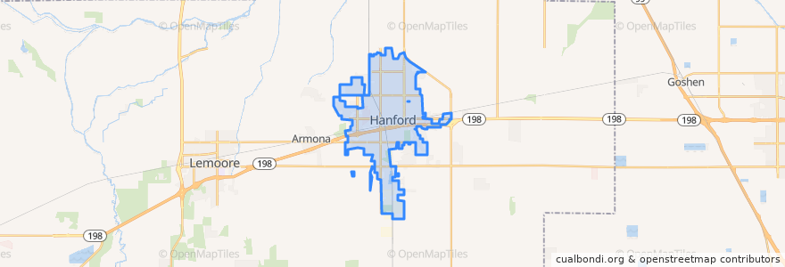
Hanford
See in interactive map
Routes of public transport
Amtrak San Joaquins: Bakersfield => Oakland
Amtrak San Joaquins: Bakersfield => Sacramento
Amtrak San Joaquins: Oakland => Bakersfield
Amtrak San Joaquins: Sacramento => Bakersfield
Hanford - Laton
Hanford - Laton
Hanford - Laton
Hanford - Laton
Hanford - Lemoore
Hanford - NAS
Hanford - NAS
Northeast Hanford
North Hanford
West Hanford
Stops
Hanford
Hanford
Points of interest
Starbucks
Jack in the Box
McDonald's
Saint Brigids Roman Catholic Church
First Church of Christ Scientist
Kings County Free Library
Monroe School
Mexican Mission Baptist Church
The Habit Burger Grill & Bar
Episcopal Church of the Savior
Kings County Courthouse
Metro 4 Cinema
Pizza Hut
Super Buffet
First Lutheran Church
First Lutheran Church Preschool
Country Waffles
A&W
Subway
Citibank
Bank of the Sierra
Primera Iglesia Bautista del Sur
Union Bank
Body of Christ Ministries
Free Methodist Church
Burger King
Black Bear Diner
Jimmy John's
Five Guys
Hanford