Login
Star users
Poll
Home
>
United States
>
California
>
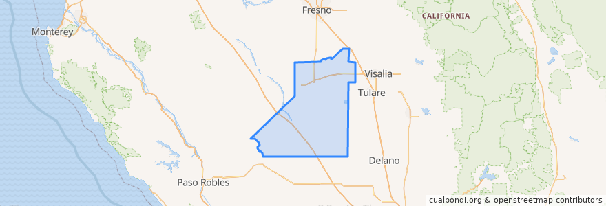
Kings County
Kings County
See in interactive map
Routes of public transport
Amtrak San Joaquins: Bakersfield => Oakland
Amtrak San Joaquins: Bakersfield => Sacramento
Amtrak San Joaquins: Oakland => Bakersfield
Amtrak San Joaquins: Sacramento => Bakersfield
Flixbus 2000: Los Angeles => Sacramento
Flixbus 2000: Sacramento => Los Angeles
Flixbus N2003: San Diego => San Francisco
Flixbus N2003: San Francisco => San Diego
Hanford - Laton
Hanford - Laton
Hanford - Laton
Hanford - Laton
Hanford - Lemoore
Hanford - NAS
Hanford - NAS
Northeast Hanford
North Hanford
West Hanford
Places
Hanford
(14)
Corcoran
(4)
Lemoore
(3)
Hanford
(0)
Hanford
(0)
Hanford
(0)
Hanford
(0)
Stops
Corcoran
Corcoran
Hanford
Hanford
Points of interest
Hanford
Roosevelt Elementary School
Earl F Johnson High School
Corcoran Post Office
Subway
Buffalo Wild Wings
Round Table Pizza
Bank of America
CFN
Corcoran City Hall
Thomas McCarthy Memorial School
Taco Bell
Church of God
Toshiko
First Christian Church
Chipotle
Church of Revelation
First Baptist Church
Free Methodist Church
Subway
Monroe School
Pentecostal Church of God
Salvation Army Church
Taqueria La Esquinita
First Baptist Playschool
Mexican Mission Baptist Church
Adventist Health Hanford - Birth Center
Armona Elementary School
Adventist Health Medical Offices - Hanford
Adventist Health Hanford