Login
Star users
Poll
Home
>
United States
>
California
>
San Joaquin County
>
Stockton
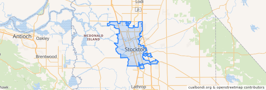
Stockton
See in interactive map
Routes of public transport
Altamont Corridor Express: San José => Stockton (evenings)
Altamont Corridor Express: Stockton => San José (mornings)
Amtrak San Joaquins: Bakersfield => Oakland
Amtrak San Joaquins: Bakersfield => Sacramento
Amtrak San Joaquins: Oakland => Bakersfield
Amtrak San Joaquins: Sacramento => Bakersfield
Flixbus 2006: Los Angeles=> Sacramento
Flixbus 2006: Sacramento => Los Angeles
Stops
Stockton–San Joaquin Street
Stockton–Downtown
Stockton–Downtown
FlixBus Stockton
FlixBus Stockton
Stockton–San Joaquin Street
Points of interest
Mimosas Corner
Episcopal Church of Saint Stephen
Old Saint Marys Roman Catholic Church
Domino's
Tepa Taqueria
Western Dental
Arco
Walgreens
Lifeseed Christian Fellowship Church
Lollicup Tea Zone
Temple Bethesda
Veterinary Specialty Center
Pentecostal Church of Jesus Christ
GK Mongolian BBQ
Shell
First Apostolic Church
Mount Calvary Baptist Church
Saint Johns Baptist Church
The Golden1
Church of All Nations
Arco
Confucius Church
Christ Temple Church
Ira & Luis Cafe
Jack in the Box
Papa Murphy's
Middlebar Buddhist Monastery
Sikh Temple
Stockton
Mount Sinai Church of God in Christ