Login
Star users
Poll
Home
>
United States
>
California
>
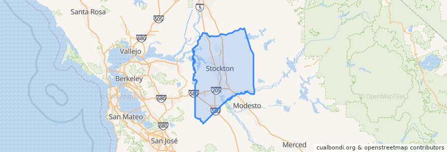
San Joaquin County
San Joaquin County
See in interactive map
Routes of public transport
Altamont Corridor Express: San José => Stockton (evenings)
Altamont Corridor Express: Stockton => San José (mornings)
Amtrak San Joaquins: Bakersfield => Oakland
Amtrak San Joaquins: Bakersfield => Sacramento
Amtrak San Joaquins: Oakland => Bakersfield
Amtrak San Joaquins: Sacramento => Bakersfield
Flixbus 2006: Los Angeles=> Sacramento
Flixbus 2006: Sacramento => Los Angeles
Places
Stockton
(8)
Escalon
(4)
Lodi
(4)
Manteca
(4)
Lathrop
(2)
Lodi
(2)
Lodi
(2)
Tracy
(2)
Stops
Lodi
Tracy
FlixBus Stockton
Lathrop/Manteca
Stockton–Downtown
Stockton–Downtown
Tracy
Stockton–San Joaquin Street
FlixBus Stockton
Lathrop/Manteca
Lodi
Stockton–San Joaquin Street
Points of interest
San Joaquin County Law Library
Lodi Post Office
Bayon Restaurant
Calvary Bible Church
Papa Murphy's
Lollicup Tea Zone
Downtown Parking Garage
Venetian Family Dentist
Loves'
Tracy
Domino's
Ripon Assembly of God Church
Starbucks
Lathrop Lighthouse of the Cross Church
Church of All Nations
Stockton
Lathrop Post Office
Chase
Manteca
Stockton Gospel Mission
San Joaquin County
Valley Inn
Rindge School
Church of Christ
Togo's
Christ Temple Church
Lodi Police Department
Escalon Branch Stockton-San Joaquin County Public Library
Western Dental
Saint Johns Baptist Church