Login
Star users
Poll
Home
>
United States
>
California
>
San Joaquin County
>
Stockton
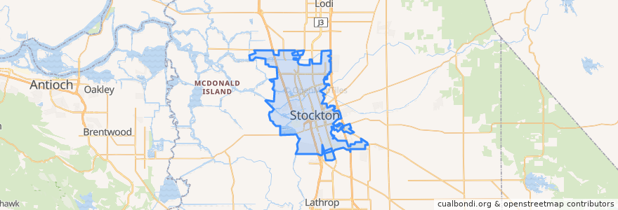
Stockton
See in interactive map
Routes of public transport
Altamont Corridor Express: San José => Stockton (evenings)
Altamont Corridor Express: Stockton => San José (mornings)
Amtrak San Joaquins: Bakersfield => Oakland
Amtrak San Joaquins: Bakersfield => Sacramento
Amtrak San Joaquins: Oakland => Bakersfield
Amtrak San Joaquins: Sacramento => Bakersfield
Flixbus 2006: Los Angeles=> Sacramento
Flixbus 2006: Sacramento => Los Angeles
Stops
Stockton–Downtown
FlixBus Stockton
Stockton–San Joaquin Street
Stockton–Downtown
Stockton–San Joaquin Street
FlixBus Stockton
Points of interest
Episcopal Church of Saint Stephen
Temple Bethesda
Greater Faith Missionary Baptist Church
Bayon Restaurant
Saint Gertrudes Roman Catholic Church
Confucius Church
Central Fire Station
First Apostolic Church
Pentecostal Church of Jesus Christ
Sikh Temple
Victory Open Standard Bible Church
Goleman Library
Veterinary Specialty Center
Swagat Indian Cuisine
KFC
Mount Sinai Church of God in Christ
Pizza Hut
Taquiera Carolina
La Boulangerie
Ebenezer African Methodist Episcopal Church
Baskin Robin's
Saint Johns Baptist Church
Tepa Taqueria
San Joaquin County Law Library
Western Dental
Stockton Gospel Tabernacle
Arco
Sonic
Shell
Chase