Log masuk
Pengguna bintang
Undian
Laman utama
>
Amerika Syarikat
>
Colorado
>
Mesa County
>
Clifton
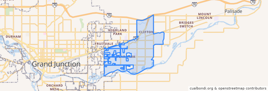
Clifton
Lihat di peta interaktif
Laluan pengangkutan awam
Route 10 Clifton
Route 2 Patterson Road
Route 3 - Orchard Avenue
Route 4 - Palisade
Route 9 - North Avenue
Perhentian
32 Road + South of D 1/2 Road
E 1/2 Road + East of Honeycomb Lane
D 1/2 Road + West of 33 Road
D 1/2 Road + West of 32 Road
E Road + East of Green Acres Street
D 1/2 Road + East of 32 3/8 Road
D 1/2 Road + West of Pera Street
32 Road + Elm Avenue
D Road + West of Riverwood Drive
D 1/2 Road + Clear Creek Drive
32 Road + North of Candlewood
E 1/2 Road + East of Primavera Street
33 Road + North of E Road
Highway 6 + East of Lois Street (NO SIGN)
32 1/2 Road + North of E Road
32 1/2 Road + South of E 1/2 Road
32 1/2 Road + South of D 1/4 Road
32 Road + North of D 1/2 Road
Clifton Transfer Station
D Road + West of Roberts Road
32 Road + D 3/4 Road
32 1/2 Road + South of Lucile Avenue
D 1/2 Road + West of Carson Lake Drive
32 Road + Kennedy Avenue
33 Road + North of San Felipe Avenue
D Road + West of 31 1/2 Road
1st Street + Grand Avenue
E 1/2 Road + West of 32 Road (Coronado Plaza)
Front Street + East of 3rd Street
D Road + Crystal Drive
Tempat menarik
Papa John's
Clifton
Chin Chin Chinese Restaurant
Light and Life Chapel
Jimmy John's
Graystone Winery