Login
Star users
Poll
Home
>
United States
>
Washington
>
Franklin County
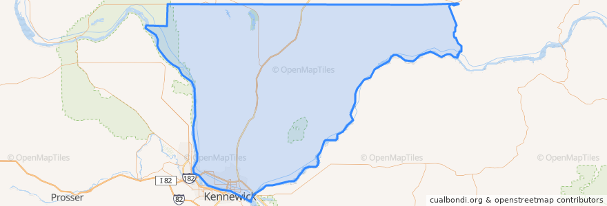
Franklin County
See in interactive map
Routes of public transport
Route 150 Eastbound
Route 160 Eastbound
Route 160 Westbound
Route 225 Eastbound
Route 225 Westbound
Route 41 Clockwise
Route 41 Counter-clockwise
Route 66 Eastbound
Route 66 Westbound
Route 67 Eastbound
Route 67 Westbound
Places
Pasco
(9)
Basin City
(0)
Connell
(0)
Kahlotus
(0)
Mesa
(0)
Stops
Sylvester & 27th Avenue
Argent & Road 76
Court & Road 38
Lewis & 24th Avenue
Sylvester & Road 48
22nd Avenue Transit Center
Court & 5th Avenue
Road 44 & Desert
Lewis & 8th Avenue
Burden & Road 68
Burden & Kalahari
Sylvester & Road 46
Argent & Road 52
Court & Road 38
Sandifur & Road 76
20th Avenue & Brown
20th Avenue & Hopkins
Sylvester & 24th Avenue
Court & 5th Avenue
Road 84 & Bell
Court & Road 60
Chapel Hill & Saint Paul
Lewis & 6th Avenue
Sylvester & 27th Avenue
Court & 19th Avenue
Sandifur & Hudson
Sylvester & 43rd Way
Road 68 & Chapel Hill
Sandifur & Broadmoor
Court & 3rd Avenue
Points of interest
DaVita Dialysis
Bin No. 20 Wine Bar & Restaurant
Mark Twain Elementary School
Bin No. 20 Wine Bar & Restaurant
First Church of Christ, Scientist
Tesla Supercharger
City of Pasco Police
Ostler Orthodontics
El Asadero
Hawk's Nest
Lavaraca Meat Market
Heritage University
Grand Central Coffee Station
Redbox
Love Curry
Franklin County Jail
Nikko Sushi & Steak
Walgreens
Mercy's Taco Pizza
Oriental Express
El Charrito
CBC Library
A&W
U.S. Bank
Tease and Tan Salon and Espresso
CBC Dental Hygiene Clinic
Havana Café
Pasco Intermodal Train Station
Pasco
Trejo's Mexican Restaurant