Login
Star users
Poll
Home
>
United States
>
Missouri
>
City of Saint Louis
City Of Saint Louis
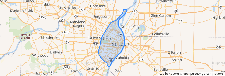
See in interactive map
Routes of public transport
Amtrak Lincoln Service: Chicago <=> Saint Louis
MetroBus 12 Union
MetroBus 14 Botanical Garden
MetroBus 19 St. Louis Avenue
MetroBus 210 Fenton-Gravois Bluffs
MetroBus 3 Forest Park Trolley Blue
MetroBus 96 Market Street Shuttle
MetroBus Green
MetroLink Blue Line (Eastbound)
MetroLink Blue Line (Westbound)
MetroLink Red Line (Eastbound)
MetroLink Red Line (Westbound)
Zoo Line
Places
St. Louis
(13)
Stops
Cortex
B
Saint Louis
Laclede's Landing
F
Skinker at Waterman SB
Skinker
Forsyth at Hoyt WB
Skinker at Delmar SB
Stadium
Forest Park - DeBaliviere
8th & Pine
Shrewsbury-Lansdowne I-44
Union Station
Skinker Metrolink at Forest Park Parkway
Skinker
Central West End
Delmar Loop
Grand
Skinker at Brookings
Forest Park - DeBaliviere
Cortex
Skinker at Westminster Place SB
Convention Center
Points of interest
Cooling station
Tortilla Grille
Olio
Drunken Fish
Hippo Hideaway Grill
Rosalita's Cantina
First Bank
Gene’s Bar & Grill
Meeting of the Waters Fountain
Bridge Tap House & Wine Bar
Joe Buck's
Pappy's BBQ
Shell
Brasserie by Niche
Hair of the Dog
Tengo Sed
Americas Center Garage
St Louis Bread Co (Panera)
River Camp Cafe
Metropolitan Saint Louis Psychiatric Center
Glasgow Village
El Burro Loco
Central Table - CWE
Crown Food Mart
Jet's Pizza
Skinker MetroLink Pay Phone
Nixa
Bailey's Range
Greater Leonard Missionary Baptist Church
Fork & Stix