Login
Star users
Poll
Home
>
United States
>
Missouri
>
City of Saint Louis
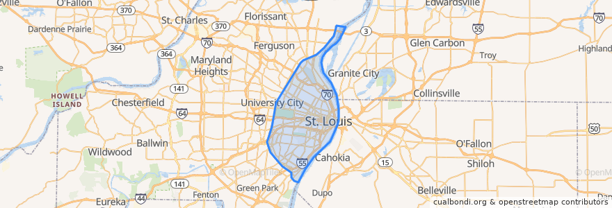
City Of Saint Louis
See in interactive map
Routes of public transport
Amtrak Lincoln Service: Chicago <=> Saint Louis
MetroBus 12 Union
MetroBus 14 Botanical Garden
MetroBus 19 St. Louis Avenue
MetroBus 210 Fenton-Gravois Bluffs
MetroBus 3 Forest Park Trolley Blue
MetroBus 96 Market Street Shuttle
MetroBus Green
MetroLink Blue Line (Eastbound)
MetroLink Blue Line (Westbound)
MetroLink Red Line (Eastbound)
MetroLink Red Line (Westbound)
Zoo Line
Places
St. Louis
(13)
Stops
B
Forest Park - DeBaliviere
F
Skinker at Brookings
Convention Center
Cortex
Skinker
Saint Louis
Stadium
Delmar Loop
Skinker at Delmar SB
Cortex
Shrewsbury-Lansdowne I-44
Laclede's Landing
8th & Pine
Forest Park - DeBaliviere
Central West End
Forsyth at Hoyt WB
Skinker
Grand
Skinker at Waterman SB
Skinker Metrolink at Forest Park Parkway
Skinker at Westminster Place SB
Union Station
Points of interest
Hard Rock Cafe
Hippo Hideaway Grill
First Bank
Sidebar
Downtown bike Station
'ZZA Pizza + Salad
Subway
Planet Sub
Milo's Tavern
Saint Louis Childrens Hospital School
Rigazzi's
AAA Fish House
Bar Louie
Kiim
Tortilla Grille
Anthonino's Taverna
Umar Masjid
Panera Bread
Saint Ambrose Church
Bobby's Place / Plagers Lounge
Busey Bank
Oliva on the Hill
Crown Food Mart
La Mancha Coffee House
Riverview
Jimmy John's
Simmons School
The Last Bar
Lakeside Cafe
Thai Country Cafe