Login
Star users
Poll
Home
>
United States
>
Missouri
>
City of Saint Louis
>
St. Louis
St. Louis
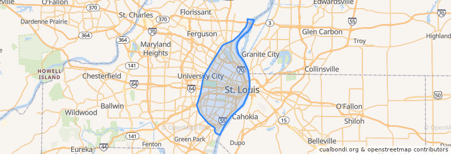
See in interactive map
Routes of public transport
Amtrak Lincoln Service: Chicago <=> Saint Louis
MetroBus 12 Union
MetroBus 14 Botanical Garden
MetroBus 19 St. Louis Avenue
MetroBus 210 Fenton-Gravois Bluffs
MetroBus 3 Forest Park Trolley Blue
MetroBus 96 Market Street Shuttle
MetroBus Green
MetroLink Blue Line (Eastbound)
MetroLink Blue Line (Westbound)
MetroLink Red Line (Eastbound)
MetroLink Red Line (Westbound)
Zoo Line
Stops
Cortex
Skinker Metrolink at Forest Park Parkway
Forsyth at Hoyt WB
F
Skinker
Cortex
B
Grand
Skinker at Brookings
Union Station
Skinker at Delmar SB
Skinker at Waterman SB
8th & Pine
Forest Park - DeBaliviere
Stadium
Convention Center
Saint Louis
Skinker at Westminster Place SB
Delmar Loop
Laclede's Landing
Shrewsbury-Lansdowne I-44
Central West End
Skinker
Forest Park - DeBaliviere
Points of interest
Center for Theology and Social Analysis
Rigazzi's
Mission Taco
Pita Pit
Shell
TGI Friday's
Pattison Baptist Church
Starbucks
Chili Mac's Diner
Starbucks
First Bank
King Louie's Empire Deli and Pizza
Union Avenue Opera
Taze
Park Avenue Coffee
Kiim
Shaw's Coffee
Fork & Stix
Sculptural drinking fountain
Hard Rock Cafe
Sub Zero Vodka Bar
Hillel at Washington University in St. Louis
Kaldi's Coffe
City Smiles
The Edible Difference
Downtown Urgent Care
St. Louis Parking
Taste of India
Coleman Dental
St. L university