Login
Star users
Poll
Home
>
United States
>
Missouri
>
City of Saint Louis
>
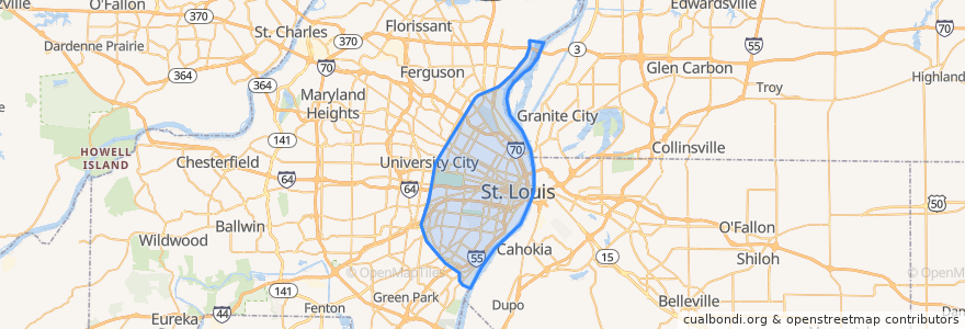
St. Louis
St. Louis
See in interactive map
Routes of public transport
Amtrak Lincoln Service: Chicago <=> Saint Louis
MetroBus 12 Union
MetroBus 14 Botanical Garden
MetroBus 19 St. Louis Avenue
MetroBus 210 Fenton-Gravois Bluffs
MetroBus 3 Forest Park Trolley Blue
MetroBus 96 Market Street Shuttle
MetroBus Green
MetroLink Blue Line (Eastbound)
MetroLink Blue Line (Westbound)
MetroLink Red Line (Eastbound)
MetroLink Red Line (Westbound)
Zoo Line
Stops
Cortex
Central West End
Skinker at Westminster Place SB
F
Skinker Metrolink at Forest Park Parkway
Skinker at Brookings
B
Grand
Convention Center
Cortex
Skinker
Stadium
Saint Louis
Forest Park - DeBaliviere
Forest Park - DeBaliviere
Shrewsbury-Lansdowne I-44
Laclede's Landing
Skinker
Skinker at Waterman SB
Forsyth at Hoyt WB
8th & Pine
Skinker at Delmar SB
Union Station
Delmar Loop
Points of interest
Saint Edward Church
Tigin Irish Pub
Metropolitan Saint Louis Psychiatric Center
ChargePoint
Rigazzi's
Panera Bread
Cooling station
The Wheel House
Crown Candy Kitchen
Premier Dental Partners
Kingside Diner
Sugarfire Smokehouse BBQ
Sub Zero Vodka Bar
Elaia
Wild Flower
Gamlin Whisky House
Sen Thai Asian Bistro
Shrine of St. Joseph
Gateway Transportation Center (Greyhound)
Brasserie by Niche
Shaw's Coffee
Emmaus Baptist Church
Caleco's
The Pat Connolly Tavern
Tiki Fruit Cafe
Ellen S. Clark Hope Plaza
Nixa
Thai Country Cafe
Excel Center
Lambs Pride Day Care Center