Login
Star users
Poll
Home
>
United States
>
Massachusetts
>
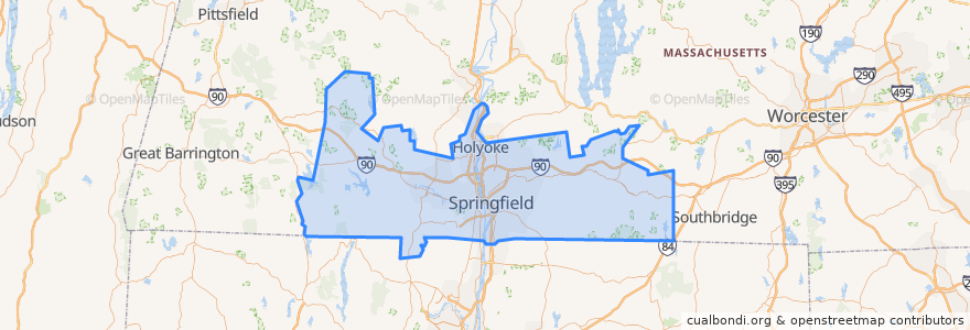
Hampden County
Hampden County
See in interactive map
Routes of public transport
Flixbus 2610: Boston => New York City
Flixbus 2610: New York City => Boston
Flixbus N2610: Boston => Washington, D.C.
Flixbus N2610: Washington, D.C. => Boston
PVTA 10s
PVTA LOOP
PVTA P11
PVTA R24
Places
Holland
(4)
Holyoke
(2)
Springfield
(2)
West Springfield
(2)
Chicopee
(1)
Westfield
(1)
Agawam
(0)
Blandford
(0)
Brimfield
(0)
Chester
(0)
East Longmeadow
(0)
Granville
(0)
Hampden
(0)
Longmeadow
(0)
Ludlow
(0)
Monson
(0)
Montgomery
(0)
Palmer
(0)
Russell
(0)
Southwick
(0)
Tolland
(0)
Wales
(0)
Wilbraham
(0)
Stops
Berth 9
Points of interest
Salvation Army
Holy Cross Church
Tolland
West Springfield
The Plaza Bar
TD Bank
Brimfield
Hampden
Agawam
Hooters
Springfield District Court
Westfield
Colonial Station Branch Post Office
Blessed Sacrament Church
Library
Central Baptist Church
United Bank
Saint Thomas Aquinas Church
Chicopee
Springfield
Calvary Cemetery
Western Housing Court
Springfield Fire Department
Oakdale Dental Associates, PC
Church of God
Mocha Emporium
Saint Mary High School
First United Methodist Church
CAE
Library