Conecte-se
Usuários estrela
Pesquisa
Início
>
Estados Unidos da América
>
Massachusetts
>
Hampden County
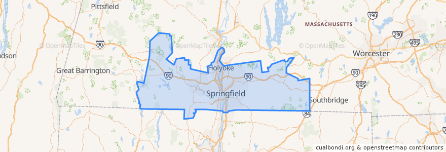
Hampden County
Veja no mapa interativo
Rotas de transporte público
Flixbus 2610: Boston => New York City
Flixbus 2610: New York City => Boston
Flixbus N2610: Boston => Washington, D.C.
Flixbus N2610: Washington, D.C. => Boston
PVTA 10s
PVTA LOOP
PVTA P11
PVTA R24
Lugares
Holland
(4)
Holyoke
(2)
Springfield
(2)
West Springfield
(2)
Chicopee
(1)
Westfield
(1)
Agawam
(0)
Blandford
(0)
Brimfield
(0)
Chester
(0)
East Longmeadow
(0)
Granville
(0)
Hampden
(0)
Longmeadow
(0)
Ludlow
(0)
Monson
(0)
Montgomery
(0)
Palmer
(0)
Russell
(0)
Southwick
(0)
Tolland
(0)
Wales
(0)
Wilbraham
(0)
Paradas
Berth 9
Pontos de interesse
Longmeadow
Smith's Billiards
Robert M Hughes Charter School
Western Housing Court
First Church of Christ Scientist
Mardi Gras Gentlemen's Club
First Lutheran School
Regal MGM Springfield
Hutghi's at the Nook
Church of God
Salvation Army
CVS/pharmacy
Missionary Church
South End Market
Our Lady of Perpetual Help School
Medical Library
Westfield Bank
Montgomery
The Arbors Assisted Living Facility
Blake House Cafe
Saint Thomas Aquinas Church
Chester
North Star Academy School
Golden Chopsticks
Commonwealth Bar and Lounge
Mrs. Mitchell's Kitchen
Community Music School of Springfield
Saint Pauls Episcopal Church
Iglesia Bautista Sinai
Colonial Station Branch Post Office