Login
Star users
Poll
Home
>
United States
>
Massachusetts
>
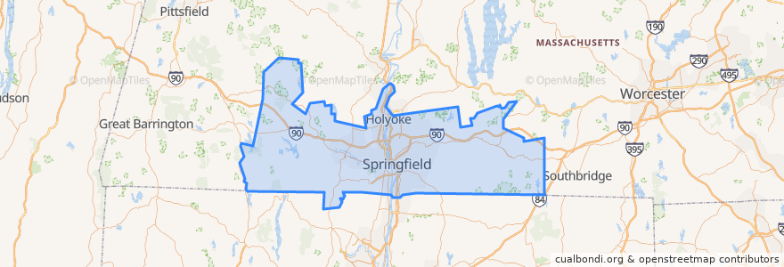
Hampden County
Hampden County
See in interactive map
Routes of public transport
Flixbus 2610: Boston => New York City
Flixbus 2610: New York City => Boston
Flixbus N2610: Boston => Washington, D.C.
Flixbus N2610: Washington, D.C. => Boston
PVTA 10s
PVTA LOOP
PVTA P11
PVTA R24
Places
Holland
(4)
Holyoke
(2)
Springfield
(2)
West Springfield
(2)
Chicopee
(1)
Westfield
(1)
Agawam
(0)
Blandford
(0)
Brimfield
(0)
Chester
(0)
East Longmeadow
(0)
Granville
(0)
Hampden
(0)
Longmeadow
(0)
Ludlow
(0)
Monson
(0)
Montgomery
(0)
Palmer
(0)
Russell
(0)
Southwick
(0)
Tolland
(0)
Wales
(0)
Wilbraham
(0)
Stops
Berth 9
Points of interest
Ely Library
One Financial Plaza Fountain
Golden Chopsticks
North Star Academy School
Medical Office Building
Theodore's Booze Blues and BBQ
First Church of Christ Scientist
Dunkin' Donuts
Walgreens
Southwick
Anne McHugh Primary School
Community Music School of Springfield
Bethlehem Baptist Church
Hooters
Bank of America (ATM)
TD Bank
Denny's
South Congregational Church
Hampden
RFK/EWT School
Brightside
CAE
Westfield Police Dept
MassMutual Center Convention Center
Mardi Gras Gentlemen's Club
Ebenezer Assembly of God Church
Pride
Springfield Police Dept
Mocha Emporium
Holyoke Fire Department