ログインする
スターユーザー
投票
ホーム
>
アメリカ合衆国
>
フロリダ州
>
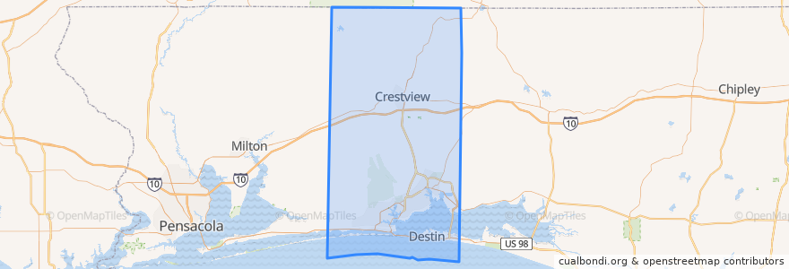
Okaloosa County
Okaloosa County
インタラクティブマップで見る
公共交通機関のルート
Route 1: Northwest Florida State College => Uptown Station
Route 1: Uptown Station => Northwest Florida State College
Route 2: Mary Esther Post Office => Uptown Station
Route 2: Uptown Station => Mary Esther Post Office
Route 3: Northwest Florida State College => Santa Rosa Mall
Route 3: Santa Rosa Mall => Northwest Florida State College
場所
Fort Walton Beach
(6)
Mary Esther
(4)
Crestview
(0)
Destin
(0)
Laurel Hill
(0)
Niceville
(0)
Shalimar
(0)
Valparaiso
(0)
ストップ
Teresa Village
Eglin Blvd/Staff
Choctaw Plaza
Hollywood/Brewer Cir
Vincent/Lang
Santa Rosa Mall
Falcon Ridge Apts
Walmart
White Wilson
Lovejoy/Oak
Bob Sikes/Dawes
316 Lewis St
Eglin St/Katherine
Hollywood/Jet
316 Lewis St
Newcastle/James Lee
Eglin St/2nd Ave
Hollywood/Azalea
Hollywood/Lula Belle
Eglin St/2nd Ave
Hollywood/Robinwood
Mariner Plaza
922 Mar Walt Dr
Gibson/Choctaw Village
Hollywood/Windham
YMCA
Walmart
Hollywood/Brewer Cir
Green Acres (Shell Station)
Hollywood/Azalea
興味がある点
Wild Ginger
McDonald's
Okaloosa County
Charter School
Destin
Tropical Smoothie
Schlotzky's Deli
Shalimar
Valparaiso
Synovus Bank
Wendy's
Burger King
Dodge's
White-Wilson Medical Clinic
Sam's club fuel center
Edwins School
UPS
GOLDBuyers on Eglin Parkway
Jimmy John's
Crestview
Fort Walton Beach
CVS
Shell
Mobil
McDonald's
United States Post Office
Yiota's Greek Deli
Dosirak House
McDonald's
Mary Esther