로그인
스타 사용자
투표
홈페이지
>
미국
>
플로리다주
>
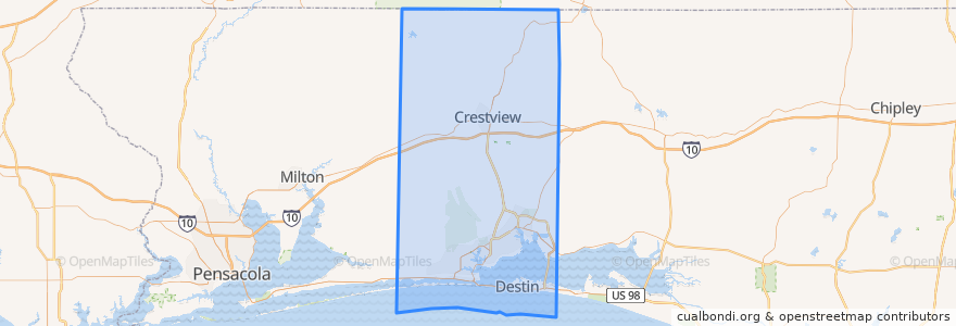
Okaloosa County
Okaloosa County
대화식지도에서보기
대중 교통 경로
Route 1: Northwest Florida State College => Uptown Station
Route 1: Uptown Station => Northwest Florida State College
Route 2: Mary Esther Post Office => Uptown Station
Route 2: Uptown Station => Mary Esther Post Office
Route 3: Northwest Florida State College => Santa Rosa Mall
Route 3: Santa Rosa Mall => Northwest Florida State College
장소
Fort Walton Beach
(6)
Mary Esther
(4)
Crestview
(0)
Destin
(0)
Laurel Hill
(0)
Niceville
(0)
Shalimar
(0)
Valparaiso
(0)
버스 정류장
Eglin Pkwy/Highway Ave
Justin/Ferrett
South/Woodham
Pelham/Pier 1
Bob Sikes/Dawes
Pelham/E Sunset
Pelham/Center St
Bob Sikes/Kenneth
Hollywood/Jet
Eglin St/Katherine
Katherine/Skipper
Eglin/Mc Griff
Hollywood/Lula Belle
Mary Esther Library
Bob Sikes/Greenwood
Northwest Florida State College
Newcastle/Manchester
Newcastle/Manchester
Anchors/Chromalloy
Eglin St/2nd Ave
Bob Sikes/Denton
Pelham/E Sunset
Falcon Ridge Apts
Newcastle/Manchester
Anchors/DRS
Newcastle/Woodham
Lovejoy/Baker
Jobs Blue
Eglin Blvd/Staff
Walgreens
가볼만한 곳
Dosirak House
Tropical Smoothie
Shalimar
Tijuana Flats
Mary Esther FD
United States Post Office
Cinco Bayou
Shell
Dodge's
UPS
Mary Esther
Crestview
Charter School
Oakland Church
Citgo
Fort Walton Beach
Sam's club fuel center
McDonald's
Domino's Pizza
Burger King
Mobil
McDonald's
Wendy's
Niceville
Okaloosa County
McDonald's
Edwins School
Jimmy John's
Sabor A Mexico
QV gas station