Login
Star users
Poll
Home
>
United States
>
Montana
>
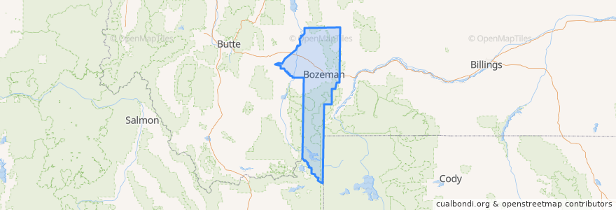
Gallatin County
Gallatin County
See in interactive map
Routes of public transport
Blueline Retail Inbound
Blueline Retail Outbound
Greenline Express Inbound
Greenline Express Outbound
Redline Downtown
Yellowline University Outbound
Places
Bozeman
(6)
Belgrade
(2)
Four Corners
(2)
Amsterdam-Churchill
(0)
Manhattan
(0)
Three Forks
(0)
West Yellowstone
(0)
Willow Creek
(0)
Stops
Bozeman HS
Babcock & 3rd (Emerson)
Mendenhall & 7th
Huffine & Cottonwood
Garfield & Willson
Tamarack & 5th
College across from Chronicle
Babcock & Wilda
Baxter & 19th
Babcock & Rouse
College @ Grant Chamberlain
27th & Oak
College & 23rd
Rouse & Cottonwood
Bridger Peak Town Center
Walmart (Lawn & Garden Door)
Gallatin Valley Mall (Food Court)
Fowler & Babcok
8th & Babcock
8th & Harrison
Babcock & Tracy
Jackrabbit & Forkhorn
Mendenhall & Balck (Downtown Transfer Station)
Huffine & Googh Hill
College & 10th
Fallon & Cottonwood
6th & Garfield
Mendenhall & 3rd
Wallace & Main
Tamarack & 5th
Points of interest
Big Sky
Bacchus Pub
Pub 317
Subway
Qdoba
Tesla Supercharger
Jehovah's Witnesses
Belgrade Christian Assembly
Mountain View Healthcare Community
Burgers & Shakes
Gallatin County
Belgrade
Fresco
Faith Baptist Church
Pickle Barrel
City Brew
Headwaters Academy
Fuel Station
Albertsons
Bozeman Medical Arts Center
Sweet Chili
Rosas Pizza
Copper
Victory Taco
Firehouse Subs
Santa Fe Red's
Rocking R Bar
New Life United Methodist Church
Taco del Sol
Town and Country Foods