Login
Star users
Poll
Home
>
United States
>
Montana
>
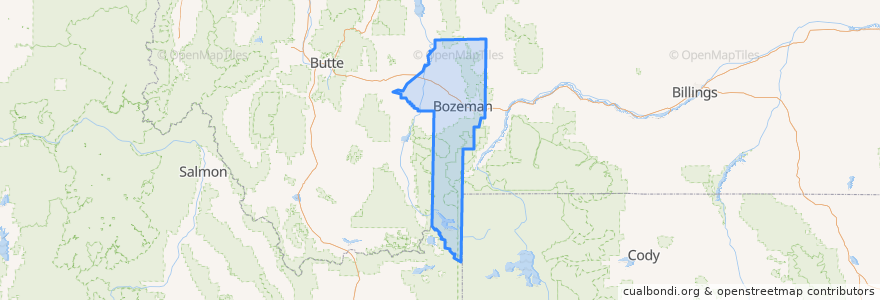
Gallatin County
Gallatin County
See in interactive map
Routes of public transport
Blueline Retail Inbound
Blueline Retail Outbound
Greenline Express Inbound
Greenline Express Outbound
Redline Downtown
Yellowline University Outbound
Places
Bozeman
(6)
Belgrade
(2)
Four Corners
(2)
Amsterdam-Churchill
(0)
Manhattan
(0)
Three Forks
(0)
West Yellowstone
(0)
Willow Creek
(0)
Stops
Hunters Way (S Curve)
27th & Baxter
6th & Garfield
College & 23rd
Fowler & Babcok
Fallon & Resort
Hunters Way & Durston
8th & Koch
8th & Koch
8th & Babcock
Mendenhall & 3rd
MSU Strand Union
Babcock & 7th
Babcock & Rouse
Tschache & 27th
8th & Harrison
Main St. (Hastings Center)
15th & Main
Main St. (Hastings Center)
6th & Garfield
Wallace & Main
22nd & Stoneridge
Walmart (Lawn & Garden Door)
College & 13th
15th & Beall
Gallatin Valley Mall (Food Court)
Ferguson & Fallon
Beall & 21st
8th & Koch
Ferguson & Fallon
Points of interest
Conoco
Osco
Cenex
Qdoba
Faith Baptist Church
Paulie's Hot Dogs
Heritage Christian School
Bacchus Pub
Fresco
Bridgercare
Main Street Overeasy
Big Sky Western Bank
Rocking R Bar
Mo'Bowls
Jehovah's Witnesses
ChargePoint
World Family School
Rocky Mountain Pharmacy
Fuel Station
Starbucks
Belgrade
It's Greek To Me
Baskin-Robbins
Whistle Pig Korean
The M Nail and Day Spa
Pizza Hut
Amsterdam-Churchill
Community Health Partners
Copper
Cafe M