Login
Star users
Poll
Home
>
United States
>
Montana
>
Gallatin County
>
Bozeman
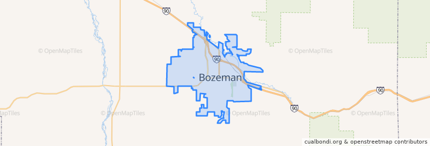
Bozeman
See in interactive map
Routes of public transport
Blueline Retail Inbound
Blueline Retail Outbound
Greenline Express Inbound
Greenline Express Outbound
Redline Downtown
Yellowline University Outbound
Stops
27th & Annie
Fowler & Babcok
7th @ M Town Plaza
8th & Babcock
Garfield & Willson
6th & Garfield
Tschache & 19th
College @ Grant Chamberlain
8th & Koch
6th & Garfield
8th & Harrison
Babcock & Wilda
8th & Koch
19th & Oak (Clark's Fork)
27th & Annie
College & 23rd
Beall & 21st
8th & Koch
Willson & Curtiss
Bozeman HS
Fowler & Babcock
Mendenhall & Bozeman (Clinic)
Tamarack & Tracy
Fallon & Cottonwood
Babcock & Tracy
Mendenhall & Balck (Downtown Transfer Station)
27th & Oak
Ferguson & Fallon
Main St. (Hastings Center)
Fallon & Resort
Points of interest
Shining Mountains Evangelical Lutheran Church
Feed Cafe
Longfellow Elementary School
Public Restrooms, Courthouse
Albertson's Pharmacy
Church of God Total Life Center
Santa Fe Red's
Tarantino's
Fresco
Victory Taco
Public Restrooms, Bozeman City Hall
The M Nail and Day Spa
Mo'Bowls
Sweet Chili
Firehouse Subs
Regal Gallatin Valley Cinemas
Sky Federal Credit Union
Oba! Brazilian Cafe
Taco Montes
Bozeman Medical Arts Center
Opportunity Bank
Main Street Overeasy
Mountain View Healthcare Community
Bridgercare
Baskin-Robbins
The Pourhouse
Bozeman Christian Reformed Church
KERB
The Daily Coffee Bar and Bakery
Biankini's