Login
Star users
Poll
Home
>
United States
>
Montana
>
Gallatin County
>
Bozeman
Bozeman
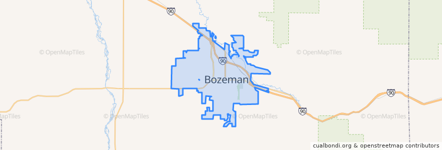
See in interactive map
Routes of public transport
Blueline Retail Inbound
Blueline Retail Outbound
Greenline Express Inbound
Greenline Express Outbound
Redline Downtown
Yellowline University Outbound
Stops
Bridger Peak Town Center
Tamarack & Rouse
Fallon & Resort
8th & Koch
Tschache & 19th
27th & Annie
27th & Baxter
Ferguson & Cascade
Grant & Willson
Wallace & Main
Huffine & Cottonwood
Hunters Way (S Curve)
6th & Garfield
Bozeman HS
27th & Charlotte
Mendenhall & 9th (Debos)
Ferguson & Durston
22nd & Stoneridge
8th & Koch
Mendenhall & 3rd
Catron @ Target
Fowler & Babcock
8th & Koch
Tamarack & 5th
Main & Babcock (Pizza Hut)
Mendenhall & Balck (Downtown Transfer Station)
Main St. (Hastings Center)
Rouse & Cottonwood
15th & Beall
Main St. (Hastings Center)
Points of interest
Headwaters Academy
Community Health Partners
Louise Shunk Day Care Center
Copper
Shining Mountains Evangelical Lutheran Church
Hall High School
KERB
Public Restrooms, Courthouse
Church of God Total Life Center
Tesla Supercharger
Cunningham's ATA Martial Arts
Biankini's
Bozeman Christian Reformed Church
Fresco
Audrey’s Pizza
Manhattan Bank
Baskin-Robbins
Zebra Cocktail Lounge
ChargePoint
Taco Montes
Rocky Mountain Pharmacy
Tarantino's
Bridger Healthcare Community
City Brew Coffee
Public Restrooms, Bozeman City Hall
Regal Gallatin Valley Cinemas
First Lutheran Church
Longfellow Elementary School
It's Greek To Me
The M Nail and Day Spa