وارد شدن
کاربران ستاره
نظرسنجی
شروع
>
ایالات متحده آمریکا
>
آیووا
>
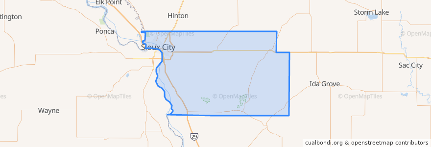
Woodbury County
Woodbury County
در نقشه تعاملی مشاهده کنید
مسیرهای حمل و نقل عمومی
Airport
Commons
Council Oaks
Indian Hills
Leeds
Marketplace
Pierce/Jackson
Riverside
Southern Hills
اماکن
Sioux City
(9)
Sergeant Bluff
(1)
Anthon
(0)
Bronson
(0)
Correctionville
(0)
Cushing
(0)
Danbury
(0)
Hornick
(0)
Lawton
(0)
Moville
(0)
Oto
(0)
Pierson
(0)
Salix
(0)
Sloan
(0)
Smithland
(0)
نقاط مورد علاقه
The Can Farm
Floyd Cemetery
Bank First
First Presbyterian Church
Good News Baptist Church
Washington School (Demolished)
Casey's General Store
Iowa-Nebraska State Bank
Family Dental Center of Morningside
Briar Cliff University
Perry Creek Animal Hospital
Dairy Queen
Sunnybrook Medical Plaza
Red Lobster
Elie's South of the Border
Salix
Northside Clinic
Billy Boy Drive-Thru
Subway
Woodbury County Jail
Touchstone Healthcare Community
Concordia Lutheran Church
Sioux City Fire Department Station 7
Coney Island
Central Nazarene Church
Iron Hill Bar & Grill
Hy-Vee Pharmacy
SoHo Kitchen & Bar
Long John Silver's
Mount Sinai Holiness Church