Accesso
Utenti preferiti
Sondaggio
Homepage
>
Stati Uniti d'America
>
Iowa
>
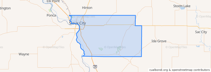
Woodbury County
Woodbury County
Visualizza nella mappa interattiva
Percorsi di trasporto pubblico
Airport
Commons
Council Oaks
Indian Hills
Leeds
Marketplace
Pierce/Jackson
Riverside
Southern Hills
Posti
Sioux City
(9)
Sergeant Bluff
(1)
Anthon
(0)
Bronson
(0)
Correctionville
(0)
Cushing
(0)
Danbury
(0)
Hornick
(0)
Lawton
(0)
Moville
(0)
Oto
(0)
Pierson
(0)
Salix
(0)
Sloan
(0)
Smithland
(0)
Punti di interesse
Sioux City Fire Department Station 7
A&W
Golden Corral
SoHo Kitchen & Bar
Pilot Travel Center
Rustin Avenue Methodist Church
Hy-Vee Pharmacy
Lincoln School
Casey's General Store
Morningside College
Sinclair
Jehovah's Witnesses Congregation
Taco John's
Bryant School
Subway
KFC
Pizza Hut
Stone Bru
First National Bank
Sioux City Fire Department Station 5
Pinnacle Bank
Our Saviour's Lutheran Church
Taco John's
China Star Buffet
Grace United Methodist Church
Leeann Chin
Vietnamese Christian Reformed Church
Morningside Presbyterian Church
McDonald's
Mayflower Congregational Church