Login
Star users
Poll
Home
>
United States
>
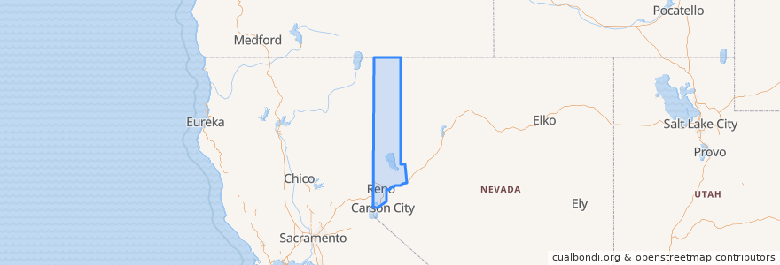
Nevada
>
Washoe County
Washoe County
See in interactive map
Routes of public transport
Flixbus 2064: Reno => San Francisco
Flixbus 2064: San Francisco => Reno
Flixbus N2006: Los Angeles => Reno
Flixbus N2006: Reno => Los Angeles
RTC Route 16 Idlewild
RTC Route 2s Ninth/Silverada
RTC Route 4 West Seventh
RTC Route 56 South Meadows/Damonte Ranch
RTC Sierra Spirit
Places
Reno
(9)
Verdi-Mogul
(4)
Sparks
(1)
Cold Springs
(0)
Gerlach-Empire
(0)
Incline Village-Crystal Bay
(0)
Lemmon Valley-Golden Valley
(0)
Nixon
(0)
Spanish Springs
(0)
Sun Valley
(0)
Sutcliffe
(0)
Wadsworth
(0)
Stops
RTC Meadowood Mall
FlixBus Reno
Bay J
Bay A
Bay T
Bay F
Bay O
Bay B
FlixBus Reno
Points of interest
Siri's Casino
Kings Academy
United Federal Credit Union
Nu Yalk Pizza
RAWBRY
Doc Holiday's Saloon
Campo
ChargePoint
Ichiban Japanese Steakhouse & Sushi Bar
Sierra Gold
Domino's Pizza
Chipotle
The Mill Juice Shop
Bruka Theatre
Egg Roll King
IHOP
Jazmine
Sandwich Factory
Denslowe Community Church
Steak 'n Shake
Cargo Concert Hall
Ijji 4 Koren Bar-B-Que & Bar
Little Nugget
Icecycle creamery
Bank of America
Peg's Glorified Ham n Eggs
Gordito's Tacos
O'Gara Dental Care
IHOP
Incline Village-Crystal Bay