Login
Star users
Poll
Home
>
United States
>
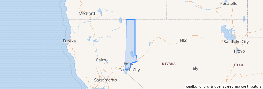
Nevada
>
Washoe County
Washoe County
See in interactive map
Routes of public transport
Flixbus 2064: Reno => San Francisco
Flixbus 2064: San Francisco => Reno
Flixbus N2006: Los Angeles => Reno
Flixbus N2006: Reno => Los Angeles
RTC Route 16 Idlewild
RTC Route 2s Ninth/Silverada
RTC Route 4 West Seventh
RTC Route 56 South Meadows/Damonte Ranch
RTC Sierra Spirit
Places
Reno
(9)
Verdi-Mogul
(4)
Sparks
(1)
Cold Springs
(0)
Gerlach-Empire
(0)
Incline Village-Crystal Bay
(0)
Lemmon Valley-Golden Valley
(0)
Nixon
(0)
Spanish Springs
(0)
Sun Valley
(0)
Sutcliffe
(0)
Wadsworth
(0)
Stops
FlixBus Reno
Bay J
Bay F
Bay A
RTC Meadowood Mall
Bay O
Bay T
Bay B
FlixBus Reno
Points of interest
Zeppelin
Pho 777 Vietnamese;Pho 777
Child Garden
Ole Bridge Pub
Bangkok Cuisine
Target
Cal Neva Valet Parking
Qdoba
ChargePoint
Pioneer Underground
Bab Cafe
IHOP
Vivoli Café Trattoria
Campo
crEATe
Genghis Grill
Donut Bistro & Pho
The Jungle Barroom
The Waterfall
Lion and the Lamb Christian School
Noble Pie Parlor
Maverick's
Savitt Medical Library
Maverik
La Famiglia
Bike Repair Tools
Washington Station Post Office
Hub Coffee
Carl's Jr.
Panda Express